
Geotag – Comment – Map
Images, Videos & Maps

![]() Fully compatible with ‘Incident Commander Pro‘
Fully compatible with ‘Incident Commander Pro‘ ![]()
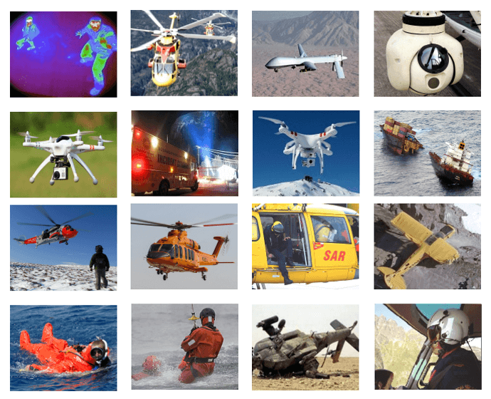
Fully compatible with ‘Image Recognition‘
![]() Goetag Images:
Goetag Images:
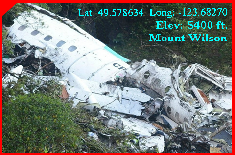
– Automatically geotag location-enabled images.
– Easy geotag by dragging images to map location.
– Add comments and coordinate display to images.
– Resize the image for convenient on-map display.
![]() – Submit images for ‘Image Recognition‘.
– Submit images for ‘Image Recognition‘.
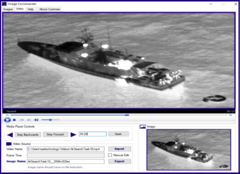
![]() Grab Images:
Grab Images:
– View video files for target images.
– Precise video stepping for image review.
– Extract target images from video file.
– Geotag extracted images from video file.
![]() – Submit videos for ‘Image Recognition‘.
– Submit videos for ‘Image Recognition‘.
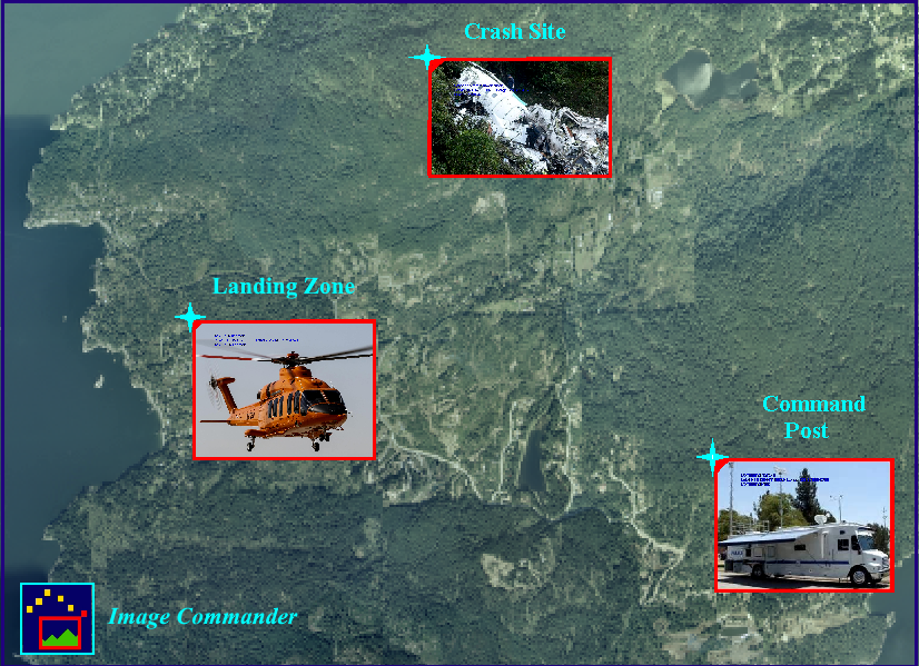
![]()
– Map Images
– Select map location for image.
– Adjust size of displayed image.
– Display or hide image.
– Display or hide comments and coordinates.
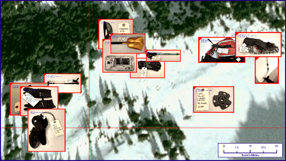
![]() – Map Evidence
– Map Evidence
– Create detailed evidence maps.
– Add geo-tagged evidence images.
– Display filename and evidence coordinates
– Annotate images with evidence comments.
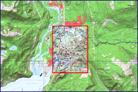
![]()
– Map Insert
– Add local map images.
– Easily set map location.
– Easily set map scale.
– Display or hide over base-map.

