![]()
![]()
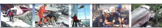
![]() SAR
Technology
- Digital Maps
SAR
Technology
- Digital Maps 
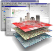 Digital Maps for Land, Sea
& Air Missions
Digital Maps for Land, Sea
& Air Missions ![]()
![]() Land
Land
![]() Sea
Sea
![]() Air
Air
- Topographical Maps. - Aeronautical Charts. - Nautical Charts. - Terrain Imagery. These digital maps are highly detailed and fully compatible with 'Incident Commander Pro'. . |
|
|
|
|
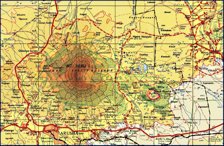
Topographical Maps Detailed topographical maps in a range of scales such as 1:250,000 and 1:50,000. Ideal for land-based missions. |
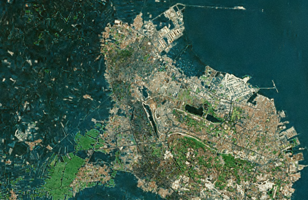 |
Terrain Imagery High resolution, enhanced, terrain imagery. Ideal for missions requiring detailed knowledge of the terrain in which the mission is being conducted. |
|
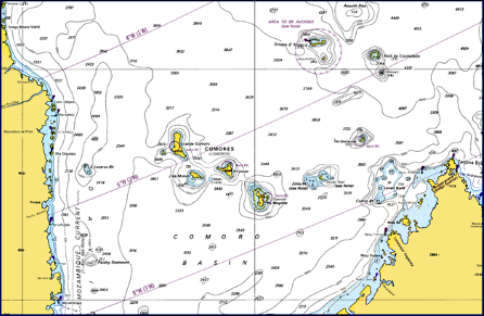
Nautical Charts High quality nautical charts in a range of map scales. Ideal for air-based and marine-based missions in maritime and coastal regions. |
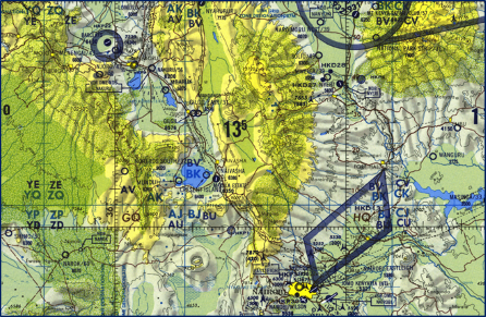 |
Aeronautical Charts High quality aeronautical charts in a range of scales, such as 1:500,000 and 1:1,1000,000. Ideal for air-based missions over land and sea. |
Go to Satellite
Images 
![]() For more information on
Digital Maps
For more information on
Digital Maps![]()
please
contact:
![]() SAR Technology Inc.
SAR Technology Inc.
 Phone:
(604) 921-2488
Phone:
(604) 921-2488  Fax
(604) 921-2484
Fax
(604) 921-2484 ![]() sartechnology@telus.net
sartechnology@telus.net
 |
SAR Technology Inc. |  |
View / Save / Share |