![]()
![]()
![]() SAR
Technology
- Satellite Imagery
SAR
Technology
- Satellite Imagery 
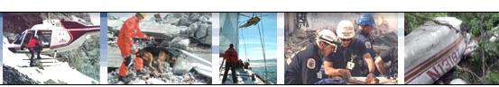
![]() Satellite
Imagery for Land, Sea
& Air Missions
Satellite
Imagery for Land, Sea
& Air Missions ![]()
![]() Land
Land
![]() Sea
Sea
![]() Air
Air
 |
for planning and active Mission Response. - Wide Range of Image Resolutions. - High-Resolution Satellite Images - up to 30cm/pixel. - Full Color Terrain Images. - Image Coverage for Land & Sea Missions. - Extensive Global Coverage for most regions. - Custom-Task Satellites to the Incident Location. |
|
|
Satellite Imagery
- Ideal for use with 'Searchlight' Image Locator' Object Search & Color Search |
|
|
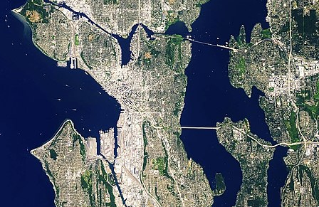
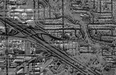
Satellite Imagery Seattle, USA |
|
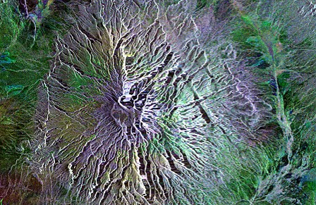
Satellite Imagery Great Rift Valley, Africa |
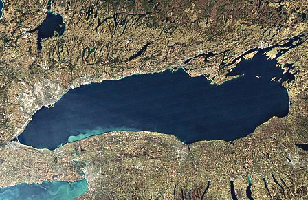 |
Satellite Imagery Lake Ontario, Canada |
|
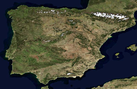
Satellite Imagery Spain, Europe |
 |
Satellite Imagery Abbotsford flooding, Canada. Synthetic Aperture Radar (image taken through cloud cover) |
Go to Digital
Maps 
For more information on
Satellite Imagery & Incident Tasking 
please
contact:
![]() SAR Technology Inc.
SAR Technology Inc.
 Phone:
(604) 921-2488
Phone:
(604) 921-2488  Fax
(604) 921-2484
Fax
(604) 921-2484 ![]() sartechnology@telus.net
sartechnology@telus.net