![]()
![]()
![]() 'Incident Commander
Pro - Version 8'
'Incident Commander
Pro - Version 8'
- Evacuation Response -
|
|
|
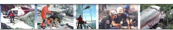
Evacuation Response Plan in Action |
 Evacuation
response plans generally have one
primary goal in mind - move as many people as fast as possible way from the
hazardous area...
Evacuation
response plans generally have one
primary goal in mind - move as many people as fast as possible way from the
hazardous area...
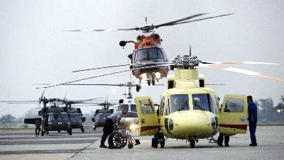
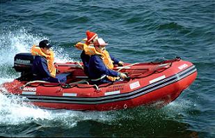
Evacuating thousands of people away from
the danger zone generally requires a wide range of transportation types - cars,
buses, trains, boats, helicopters, aircraft, ATV's etc. The types of
transportation used will be dependent on the location of the incident and the
distance to be traveled.
Faced with critical decisions as to which transportation resources to deploy, in what order and to which response regions, can be a very difficult decision. As floodwaters rise, forest fires approach or blizzards trap isolated communities, the selection of transportation types and their sequence of deployment, can have a crucial effect on the life and safety of the citizens. If there are insufficient resources to evacuate all of the threatened citizens, then the decision as to which persons to evacuate, by which transportation resources, in which region and in which order, can become a major, life-threatening decision.
Unfortunately developing the fastest, most efficient evacuation sequence for a major incident is made very difficult by the wide range of factors that have to be taken into account. These factors include :
The Size and Scope of the Incident
Faced with this bewildering array of variables the Emergency Planner needs a scientific, mathematical approach that provides the fastest, optimized evacuation procedure. The 'Incident Commander Pro ' software provides the tools required to create this optimized evacuation plan.
A Worked Example -
'Hurricane Candice'
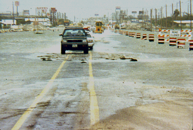
'Hurricane Candice' has brought destruction
to a 6 mile-wide area of a coastal city, with downed power-lines, flooded
lowlands and the highways littered with wind-blown debris. Five types of
transportation are available to respond to different regions each requiring
evacuation. The low-lying regions have serious life-threatening flooding, up to
the second story level of people's homes, while the slightly higher regions
have a lower threat level, with only ground floor flooding, which can still be
accessed, albeit slowly, by ground transportation.
By utilizing the available transportation resources
and designating the threat level of each evacuation region we have all the
information we need to develop the optimized evacuation plan. The table below
shows the five transportation types and the threat level of each region to be
evacuated.
| Transportation Type |
Evacuation Region |
Total Hours to access, load and evacuate passengers |
|
Travel Speed |
|
Total Hours = 0.74 |
|
|
|
Total Hours = 1.98 |
Number of
Travel Speed |
|
Total Hours = 1.10
|
|
|
|
Total Hours = 0.84
|
|
|
|
Total Hours = 1.22 |

 City Heights
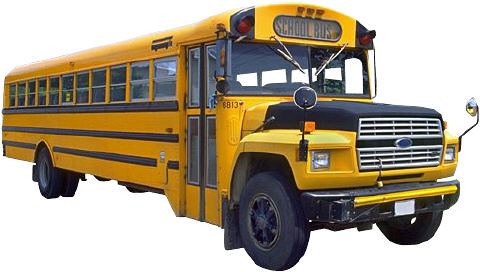
 Fairview Ridge
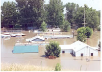 Bayside Flats
 Number of
 Western Pier
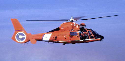 Number of
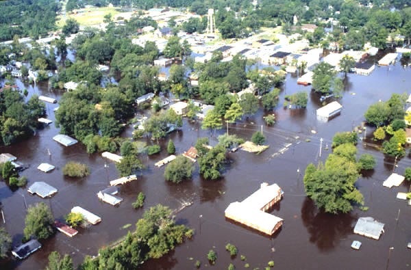 Harbor Basin
Mission Areas
Each evacuation region is entered into the Mission Areas list of the ‘Incident
Commander’ software and the relative threat level (eg 0.9, 0.05) entered into
the POA field for each of these areas.
|
'Incident Commander' Prioritized Evacuation Plan |
||
|
Flooded Access |
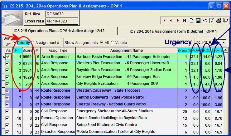
|
Number of Passengers Total -Task Hours
|
Once entered the software will automatically normalize (ie spread across 100%) the relative urgency (POA) for each of the listed evacuation areas.
Assignment Form
Evacuation assignments are created for each transportation type using the ICS
204 Assignment Form. Enter their Access Hours and Exit Hours, ie time required to
first reach, and then exit from, their designated evacuation area, based on their
expected travel speed.
The Task Hours are also entered into the Assignment Form, this is the time required to collect and load a full set of passengers on board.
The number of Passengers on Board is entered in to the Assignment Form’s POD field, (for example enter a value of 6 for six passengers).
With this planning data entered each evacuation assignment is automatically saved, and becomes part of the Operations Plan list of assignments.
View the Operations Plan list of assignments and click the ‘Priority’ button. ‘Incident Commander’ will then automatically prioritize all of the area evacuation assignments, based on evacuating the largest number of people, at the highest risk, for the time and effort required to conduct each evacuation.
As the incident evolves, for example as flooding increases or decreases in area, new assignments can be added to respond to these changed conditions. ‘Incident Commander’ will list and re-prioritize of all of the evacuation assignments, for the different extents of flooding - permitting a number of flood scenarios to be incorporated into the same Operations Plan.
![]() ‘Incident Commander
Pro’ creates
an optimized and efficient evacuation plan, maximizing the value of each transportation resource,
for a fast and dynamic evacuation response.
‘Incident Commander
Pro’ creates
an optimized and efficient evacuation plan, maximizing the value of each transportation resource,
for a fast and dynamic evacuation response.
For more information please contact:
![]() SAR
Technology Inc.
SAR
Technology Inc.
 Phone:
(604) 921-2488
Phone:
(604) 921-2488  Fax
(604) 921-2484
Fax
(604) 921-2484 ![]() sartechnology@telus.net
sartechnology@telus.net