![]()
![]()
![]() 'Incident Commander
Pro - Version 8'
'Incident Commander
Pro - Version 8'
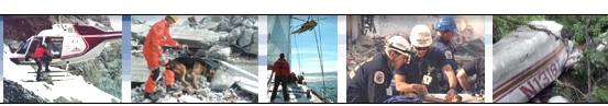
- Real-Time
Mission Response -
|
|
|
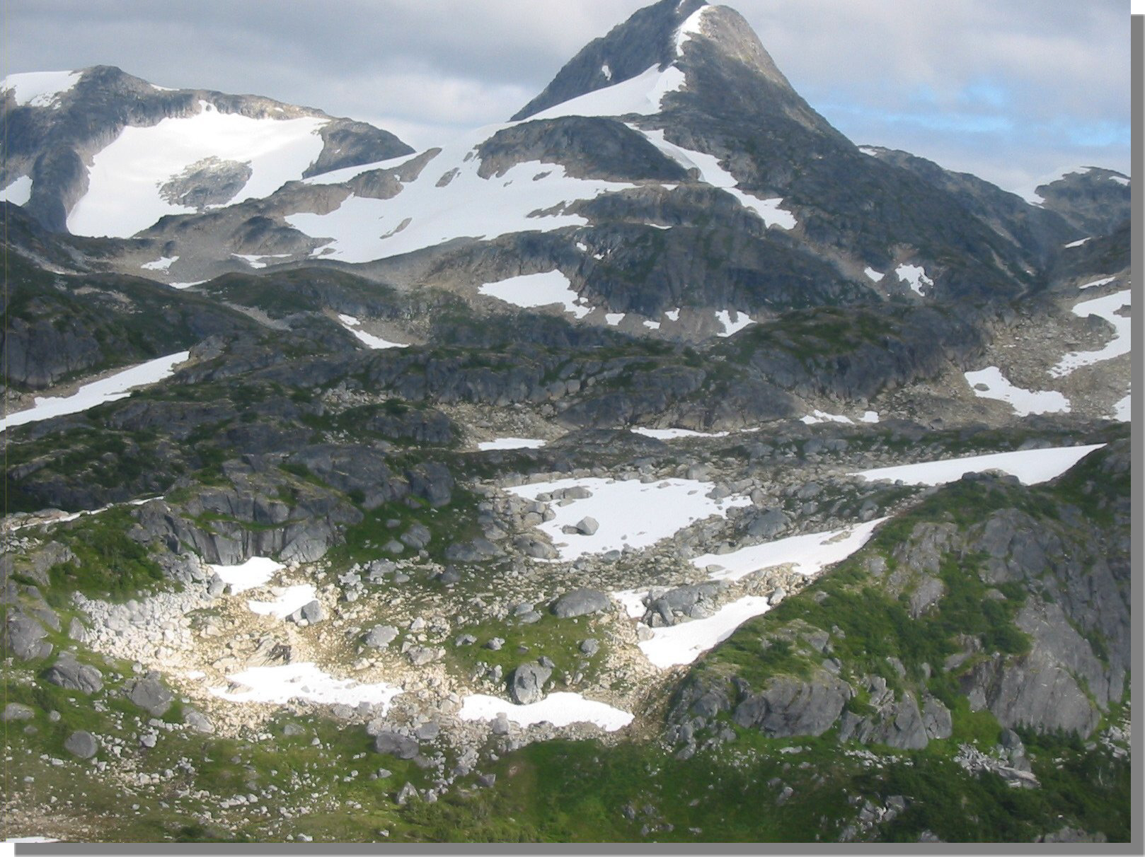
Mount Elizabeth, B.C. 6069ft |
Major Wilderness Search Resolves Tragedy on Mount
Elizabeth.
Remote alpine peaks, wilderness valleys make
for difficult search.
 August 25th:
 The
search for two missing hikers began when they failed to return from a Sunday hike up Mount Elizabeth, one of the more
difficult and rugged hikes in the remote Kitimat region of British Columbia.
The
search for two missing hikers began when they failed to return from a Sunday hike up Mount Elizabeth, one of the more
difficult and rugged hikes in the remote Kitimat region of British Columbia.
 |
| Western Basin of Mt. Elizabeth |
The hikers had left for a day hike up
Mount Elizabeth, a steep trail that first reaches the 1750m/5741ft summit of
Little Elizabeth, in 3 to 6 hours, followed by a steep and exposed rock ridge to
the 6069ft/1850m main summit of Mount Elizabeth - a long 7 to 12 hour round trip
from the trailhead. As they climbed towards the summit heavy cloud began to
envelop the mountain. By nightfall, when they had not returned,
the local SAR teams were asked to respond.
With the hikers' car still at the trailhead SAR teams began to search the steep trail up to Little Mount Elizabeth and then on up to Mount Elizabeth peak itself. No sign of the pair was found during this initial hasty search.
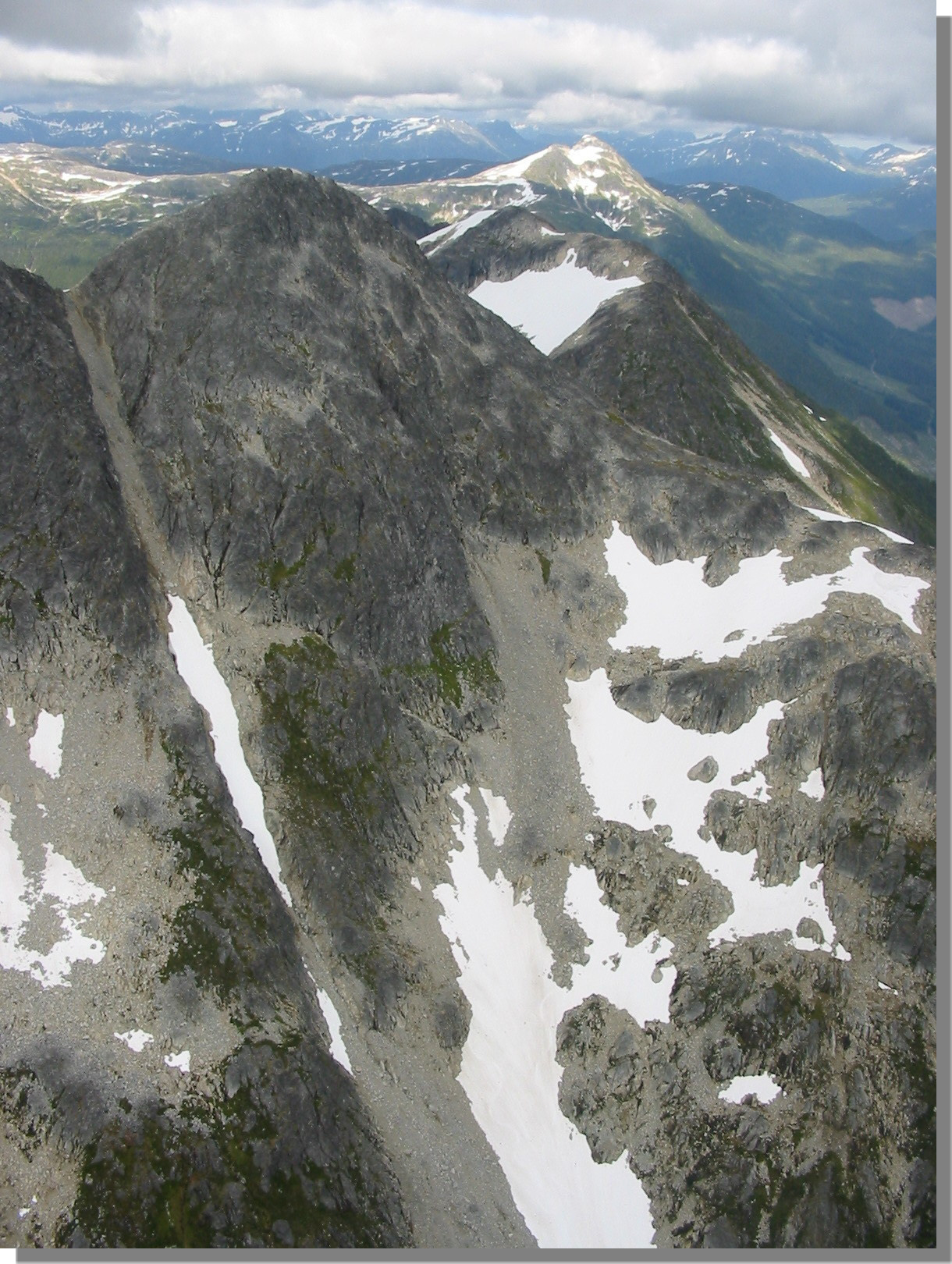
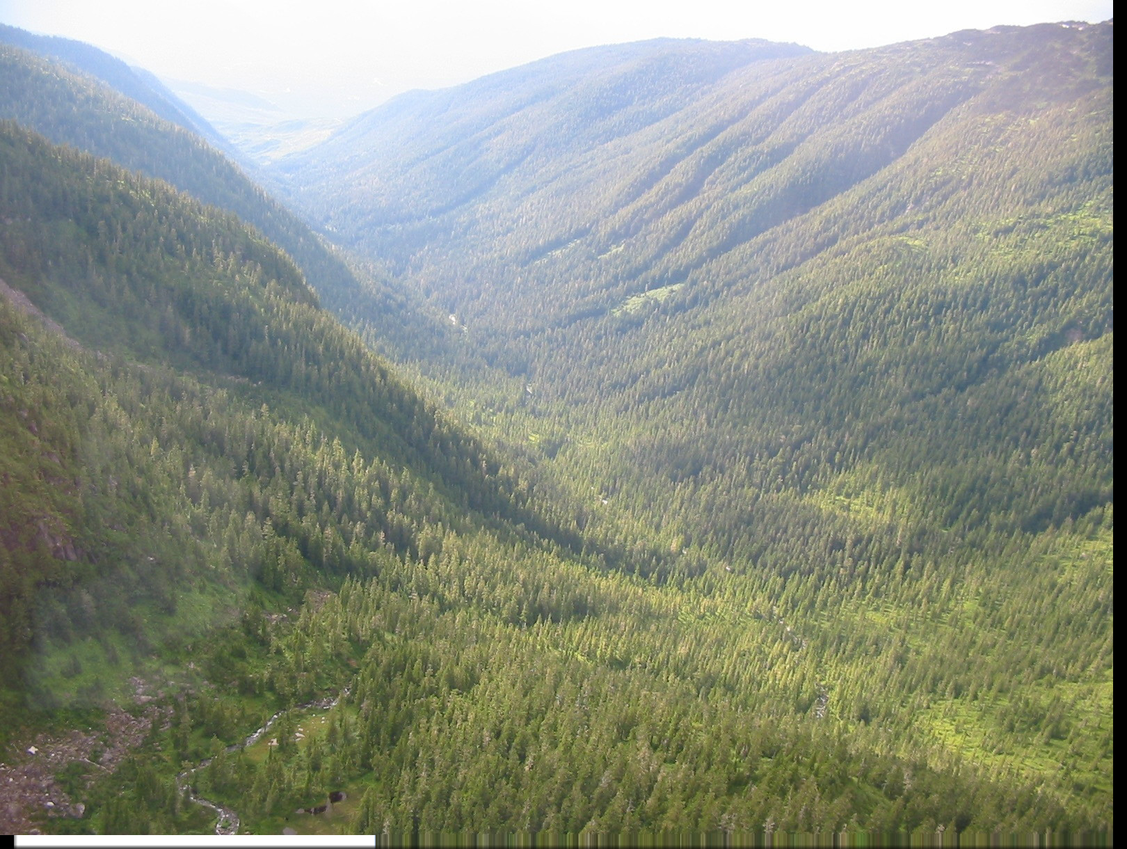
Mount Elizabeth stands at the centre of a complex system of major drainages, with alpine peaks, connecting ridges, pocket glaciers, seracs, headwalls and five long, forested wilderness valleys, all radiating out from it's main summit. Given the size and complexity of the terrain it quickly became obvious that this could be a long and difficult search. Compounding the problem was the remoteness of the region, located 1300Km/810 miles North of Vancouver, B.C., as well as the mountain's close proximity to the coast, which results in it attracting heavy coastal precipitation, typically in the form of long periods of low cloud, heavy rain and early snowfall
 |
|
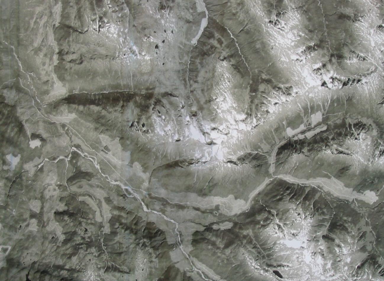
Ariel photograph of the Mt. Elizabeth region |
 |
|
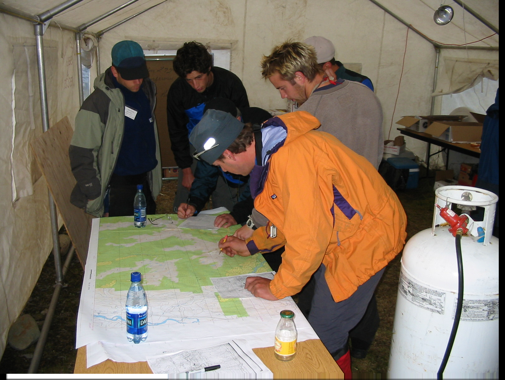
Searchers being briefed |
![]() Real-Time
Mission Response
Real-Time
Mission Response
A group of experienced SAR responders from throughout the region immediately
responded to the call for assistance.
The closest building,
the small briefing room of a local flying club, approximately 15km/9miles from
the trailhead, was seconded for use as the Command Post, while radio repeaters
were set up to maintain communication from the Command Post to SAR vehicles
located at the trailhead.
Search teams combed the main hiking trail, alpine ridges, major drainages and
summit area for three days but failed to find any sign of the two missing
hikers. At this time additional resources were brought in from around British Columbia.
The request for resources was strongly supported by the Royal Canadian Mounted Police, the Provincial Emergency Program and two major corporations, ALCAN and Telus, who generously donated food, equipment, technical support and the use of corporate jets to fly searchers to the area. Up to four helicopters were also made available, with unlimited flying time, both for searching and the deployment of searchers to their assignments.
Thursday
August 29th:
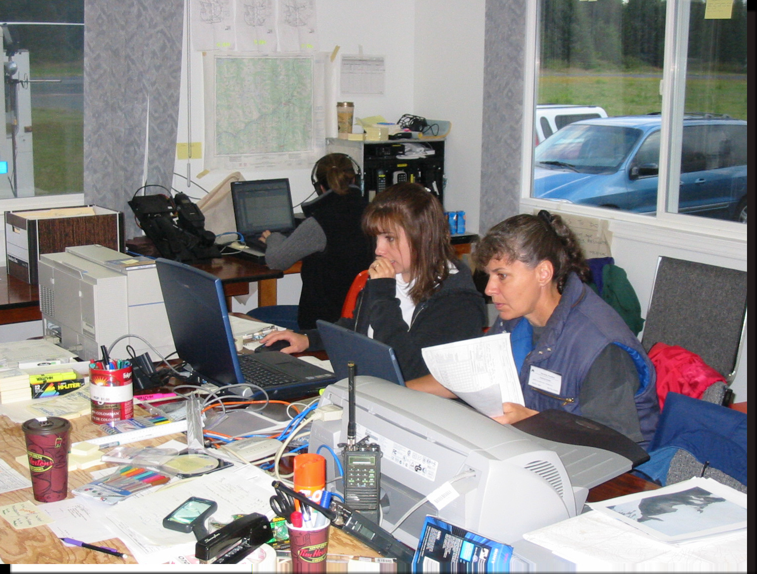
SAR resources from the SW Region of B.C. were brought in to assist with planning
and documentation functions, as well as team leaders and alpine specialists, to
assist with the search itself.  The Command Post facilities were expanded to
include three networked computers running the 'Incident Commander
Pro' software, two printers, a commercial photocopier,
a large mobile Base radio, a radio repeater and three large tents to shelter the
crowds of searchers congregating at the site. The flying club's airstrip was
conveniently used to land incoming searchers.
The Command Post facilities were expanded to
include three networked computers running the 'Incident Commander
Pro' software, two printers, a commercial photocopier,
a large mobile Base radio, a radio repeater and three large tents to shelter the
crowds of searchers congregating at the site. The flying club's airstrip was
conveniently used to land incoming searchers.
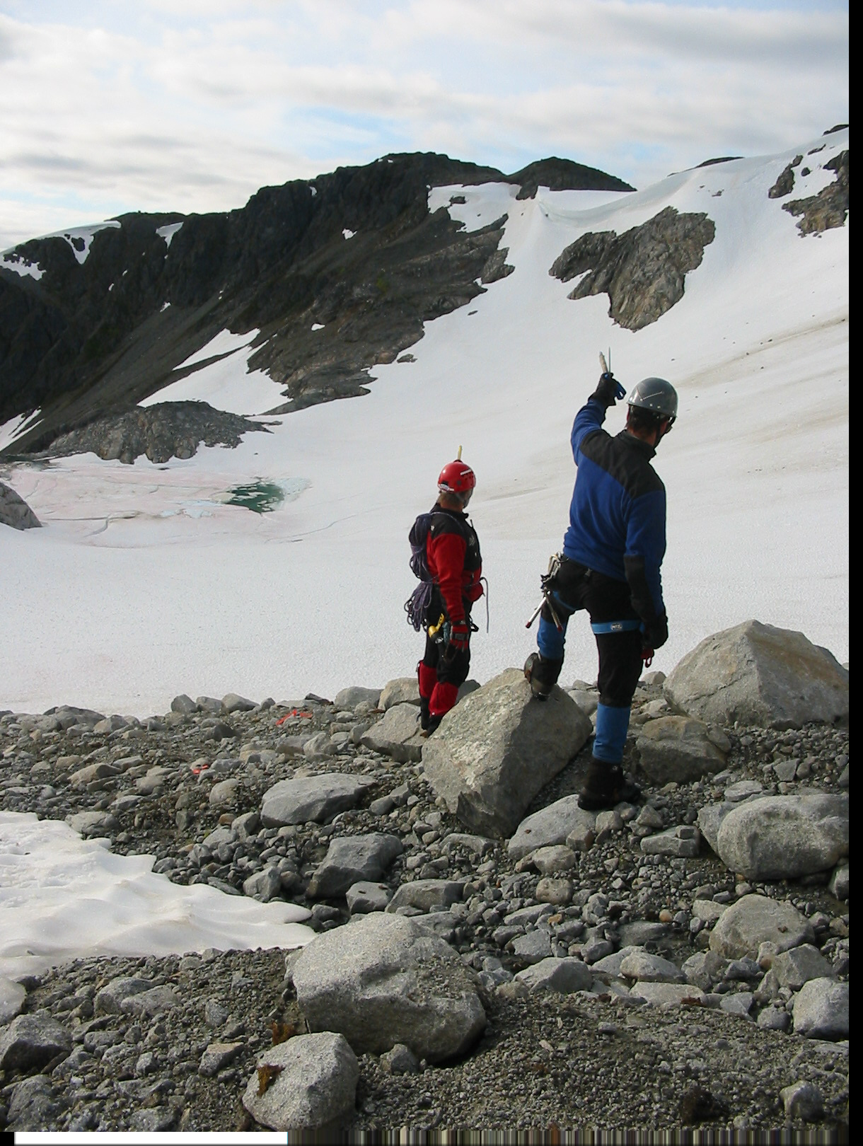
![]() At
approximately 2pm a report was received that an alpine SAR team, searching a
pocket glacier on the NE side of Mount Elizabeth, had found the body of the
female hiker She had apparently fallen off a snowfield, not far from
the summit of Mount Elizabeth, falling over a rock cliff onto the bergschrund at
the edge of a pocket glacier. Following an investigation of the accident site
the body was removed but, unfortunately, no tracks were found that could help
determine the location of the still-missing male hiker.
At
approximately 2pm a report was received that an alpine SAR team, searching a
pocket glacier on the NE side of Mount Elizabeth, had found the body of the
female hiker She had apparently fallen off a snowfield, not far from
the summit of Mount Elizabeth, falling over a rock cliff onto the bergschrund at
the edge of a pocket glacier. Following an investigation of the accident site
the body was removed but, unfortunately, no tracks were found that could help
determine the location of the still-missing male hiker.
Friday
August 30th:
The search rapidly stepped up in scale as plane-loads of searchers from 16 SAR
teams began to arrive at the Command Post.
 |
|
Planning Team running the networked |
 |
|
Searchers arrive by Corporate Jet at the Command Post |
![]() Over
the next four days, using the Incident
Commander Pro' software, over 200
people from 16 SAR teams were checked-in, software-generated ID tags
were issued, 91 search
areas defined and 78
new assignments created, for a total of
approximately 120 assignments.
Over
the next four days, using the Incident
Commander Pro' software, over 200
people from 16 SAR teams were checked-in, software-generated ID tags
were issued, 91 search
areas defined and 78
new assignments created, for a total of
approximately 120 assignments.
Four IT people were dedicated to maintaining
software data entry throughout the mission. 'Incident Commander Pro's Communications
Log was used to track all mission communications, including meetings, and to
document any clues found. As each search team reported back to base their
Probability of Detection was recorded in the software.
All of the 91 mission search areas were then automatically
updated for shifting Probability of Area and then instantly re-prioritized according
to the software's Search Priority
principle.
 |
|
Searchers inspect the accident site where the
female's body |
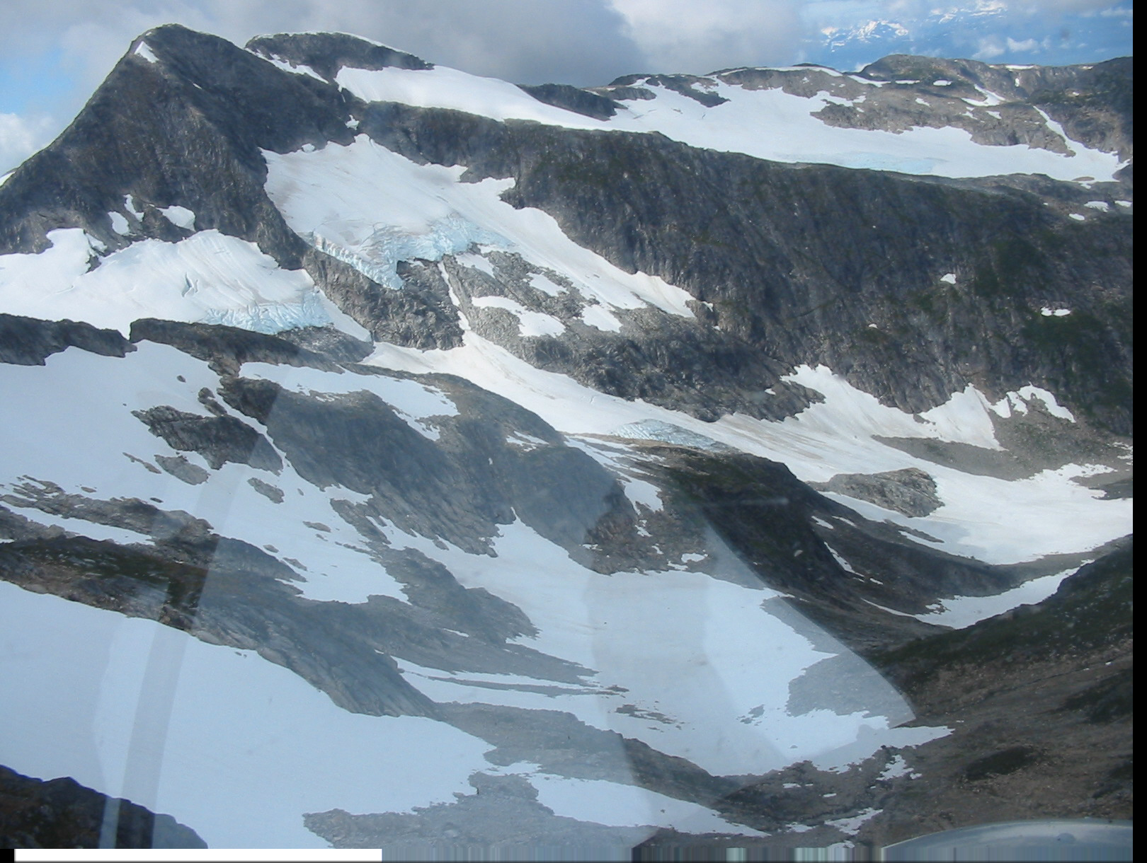 |
|
Serac's falling in Mt. Elizabeth's NE Basin |
The region's extensive search areas were subdivided
according to Search Priority, geographic location and elevation, i.e. whether
they were located in the forest, sub-alpine or alpine region. This permitted the
rapid selection of alternate search assignments given the sudden changes in
weather for which the region was noted. The mountain ranges were also
methodically over-flown by helicopter and almost 200 digital images taken, to
help assist in defining and locating potential search areas.
Despite the steepness and ruggedness of the terrain no searchers became hurt,
however one search team narrowly escaped injury when an ice serac above them
crashed into the alpine basin they were searching. Fortunately they took shelter
behind a rock wall and escaped injury.
Saturday
August 31st.
Low cloud and rain descended onto the mountain range, forcing a rapid change of
plan to 'ground-based' searching, using helicopters where required, to fly the
search teams to the starting point of their lower-elevation search areas.
Occasionally tracks were reported, all of which were digitally photographed and
examined back at the Command Post. None of them matched the footprint of the
male hiker.
 |
|
Searcher's check their assignments |
Sunday
September 1st.
The low cloud descended further, almost to the
valley bottom, making helicopter deployments frequently impossible. Search teams
were again sent to lower-elevation 'escape routes' off Mount Elizabeth, but did
not find any tracks or useful clues. The alpine region - a high probability area
- remained off-limits due to the poor weather, bad visibility, long access times
by ground and the lack of a rapid evacuation option for searchers who might
become injured at high elevation.
 |
|
Dense forest in Mount Elizabeth's |
Monday
September 2nd.
After 6500 searcher-hours of searching had been completed it was regretfully decided to
suspend the search. The persistent bad
weather, tired searchers, increasing safety concerns and the decreased chance of
survivability after 8 days in these glaciated mountains, all led to this sad but
inevitable conclusion.
As the searchers packed their bags to go home fresh
snow was briefly glimpsed to have fallen in the alpine basin, signalling the
start of the fall/winter season in Northern British Columbia.
![]() Monday
September 23rd.
Monday
September 23rd.
A group of alpine specialists from local SAR teams and from B.C.'s Lower Mainland, took advantage of a break in the weather to return to the high alpine areas of Mount Elizabeth, in order to complete searching these high probability areas.
Soon after they were deployed the searchers discovered the body of the male
hiker, now revealed at the edge of a bergschrund that had shrunk back during the intervening weeks of heavy rain. It appeared that
he had fallen approximately 90 ft /27m over a steep cliff from one of the summit ridges.
Given the confusing nature of the ridges near the summit it was surmised that two hikers became disoriented in the thick cloud and attempted to leave the summit by the wrong ridge, after which they both, separately, fell to their deaths at different locations on the mountain.
For more information please contact:
![]() SAR
Technology Inc.
SAR
Technology Inc.
 Phone:
(604) 921-2488
Phone:
(604) 921-2488  Fax
(604) 921-2484
Fax
(604) 921-2484 ![]() sartechnology@telus.net
sartechnology@telus.net