![]()
![]()
![]() 'Incident Commander
Pro - Version 8'
'Incident Commander
Pro - Version 8'
-
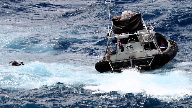
Marine Response -
 |
|
 |
|
Marine Rescue Incident |
![]() Marine
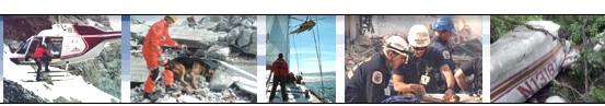
SAR incidents provide unique challenges for a rapid mission response. Time,
distance, weather, sea-state, currents, visibility and drift make delivering an
effective and successful response a highly complex and challenging task.
Marine
SAR incidents provide unique challenges for a rapid mission response. Time,
distance, weather, sea-state, currents, visibility and drift make delivering an
effective and successful response a highly complex and challenging task.
![]() 'Incident
Commander Pro' provides the unique ability to integrate marine data,
determine response areas and manage the mobilization of ships, aircraft,
equipment and personnel being deployed to the incident.
'Incident
Commander Pro' provides the unique ability to integrate marine data,
determine response areas and manage the mobilization of ships, aircraft,
equipment and personnel being deployed to the incident.
 |
|
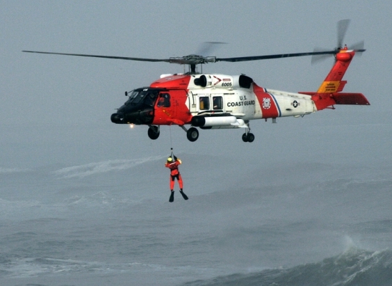
Helicopter Hoist Rescue |
![]() As the incident progresses detailed Communications Logs, GIS vessel tracking,
Mission Status, Resource Status and Personnel Status displays provide an
immediate and comprehensive real-time overview of the entire mission response.
As the incident progresses detailed Communications Logs, GIS vessel tracking,
Mission Status, Resource Status and Personnel Status displays provide an
immediate and comprehensive real-time overview of the entire mission response.
With
the unique ability to integrate marine, air and ground response units,
extensive planning features and the ability to display a wide range marine,
aeronautical and terrestrial maps, 'Incident Commander Pro' is uniquely
capable of providing integrated mission response for marine, air and land-based
incidents.
 |
|
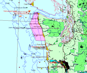
NOAA
Electronic Navigation Chart S-57 |
![]()
Marine
Map Display: In
addition to displaying a wide range of open-source maps, free
US NOAA
Electronic Navigational Charts and Raster Navigation Charts have also been converted
for display in 'Incident Commander Pro'.
 |
|
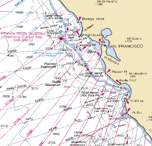
NOAA
Raster Navigation Chart BSB |
![]() 'Incident
Commander Pro'
'Incident
Commander Pro'
- for rapid response to marine SAR incidents.
For more information please contact:
![]() SAR
Technology Inc.
SAR
Technology Inc.
 Phone:
(604) 921-2488
Phone:
(604) 921-2488  Fax
(604) 921-2484
Fax
(604) 921-2484 ![]() sartechnology@telus.net
sartechnology@telus.net
|
|
SAR Technology Inc. |  |
View / Save / Share |