![]()
![]()
![]() 'Incident Commander
Pro - Version 8'
'Incident Commander
Pro - Version 8' ![]()
- Remote Region Response -
 |
|
Wind River Range, Wyoming |
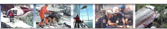
Remote area operations present significant challenges to the Incident Commander.
Long access times, limited resource availability, weather problems and navigation
uncertainties, create highly challenging mission operations.
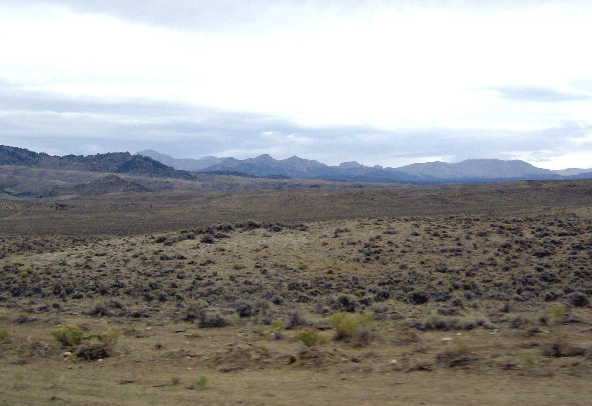
In addition to these challenges are the problems of directing resources in areas where remote road networks are
often poorly marked, inadequately mapped and lacking in identifiable features. Deep forests, featureless plateaus and desert
scrubland often make it difficult to precisely identify mission areas and ensure that the response teams are
accurately directed to the correct locations.
 |
|
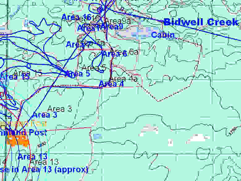
'Incident Commander
Pro' Mission Map of Grouse Mountain, BC |
Recent highly-publicized missions have not only indicated the significant problems posed by these operations
- but also the
means available to successfully meet these challenges.
![]() Mission
Map Creation
Mission
Map Creation
'Incident Commander
Pro' is a powerful tool to meet these remote area
challenges.
It's integrated GIS module is capable of
displaying 'classical' map layers overlaid with digital aerial photographs and
many common image-file formats,
providing a far more complete picture of the mission
area.
Combining these multiple forms of terrain information into one mission map provides the ability to quickly create accurate
mission maps, from existing data sources. It is even possible to over-fly the mission area during the incident and use the
digital images taken as geo-referenced map layers. 'Incident Commander
Pro' will display map layers from a wide variety
of file types, permitting an accurate up-to-date mission map to be quickly created from many sources of local information.
Even trail guides, pamphlet maps, leaflets and hard-copy maps can all be displayed as scaled,
geo-referenced map layers on the mission map. This flexibility is extremely
helpful in quickly creating an accurate mission map from whatever geographic
information is immediately available.
![]() The custom mission map created can be directly exported as scaled map images, hard copy paper maps and
as individual assignment maps
within the mission area. Providing this detailed, geo-referenced local information is a great benefit to the command team and helps keep the field responders, and the mission plan, on track.
The custom mission map created can be directly exported as scaled map images, hard copy paper maps and
as individual assignment maps
within the mission area. Providing this detailed, geo-referenced local information is a great benefit to the command team and helps keep the field responders, and the mission plan, on track.
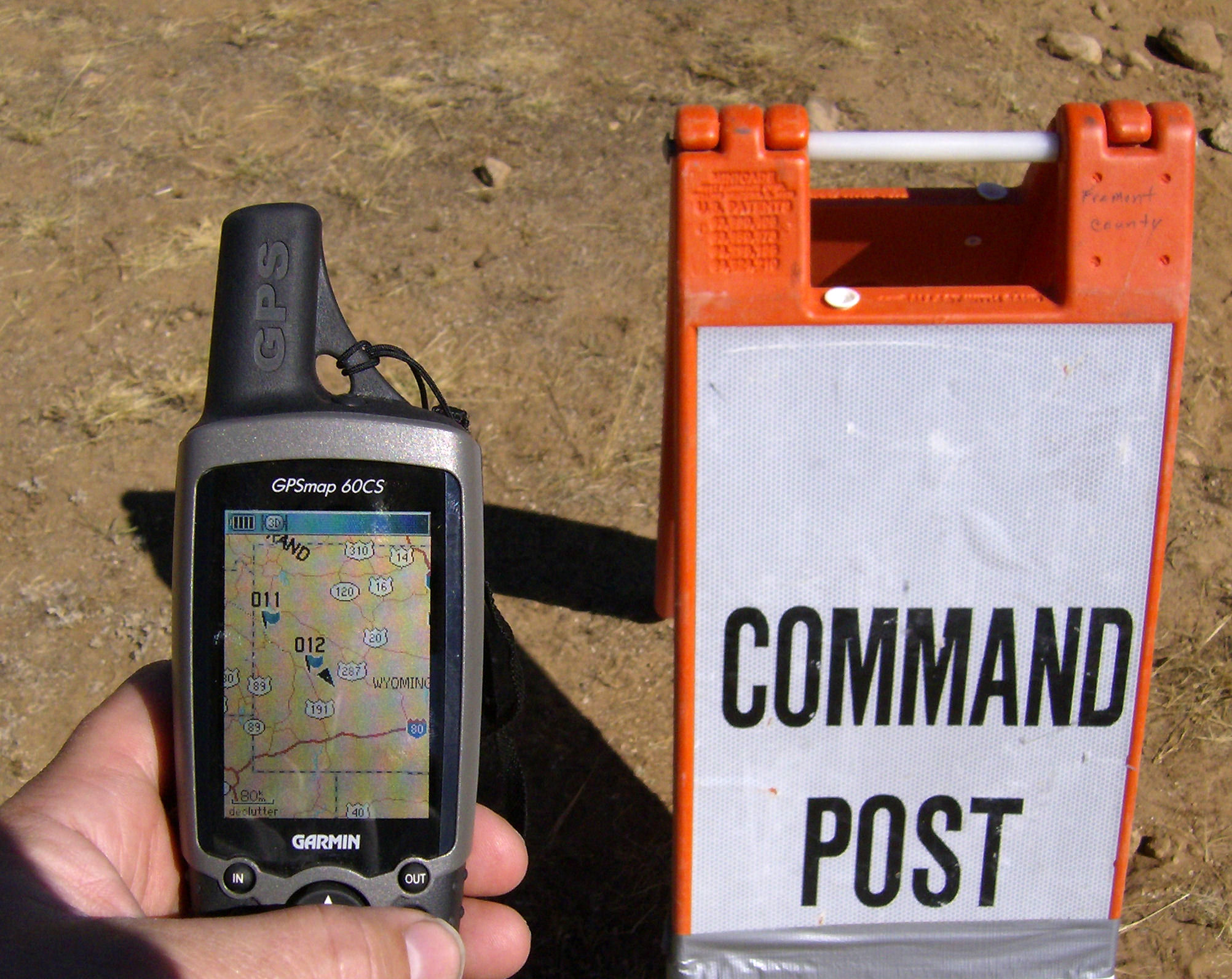
 GPS
Route Files
GPS
Route Files
![]() 'Incident Commander
Pro'
provides the capability to export mission routes, drawn directly on the mission map, as GPS waypoint
files. Uploading these files into each teams GPS helps guide the team to it's assigned location, with their
hard-copy assignment map displaying the same route information.
'Incident Commander
Pro'
provides the capability to export mission routes, drawn directly on the mission map, as GPS waypoint
files. Uploading these files into each teams GPS helps guide the team to it's assigned location, with their
hard-copy assignment map displaying the same route information.
![]()
![]()
![]()
![]()
![]()
![]()
![]()
![]() GPS Resource Tracking
GPS Resource Tracking
|
|
'Incident Commander
Pro' Mission Map |
 Once in the field communications with the response teams permits their current GPS location to be recorded in both the
Communications Log and the live-update mission map, using the 'Beacon
Tracking'
function. If any team temporarily 'gets lost' 'Incident Commander
Pro's
' 'Beacon Tracking' can be used to guide the field team back to their assigned location. This unique feature,
along with integrated distance and bearing functions, has proven invaluable in keeping the field teams 'on track'
on confusing road networks, in heavily wooded areas and in featureless terrain.
Once in the field communications with the response teams permits their current GPS location to be recorded in both the
Communications Log and the live-update mission map, using the 'Beacon
Tracking'
function. If any team temporarily 'gets lost' 'Incident Commander
Pro's
' 'Beacon Tracking' can be used to guide the field team back to their assigned location. This unique feature,
along with integrated distance and bearing functions, has proven invaluable in keeping the field teams 'on track'
on confusing road networks, in heavily wooded areas and in featureless terrain.
![]() Onsite
Geo-referencing
Onsite
Geo-referencing
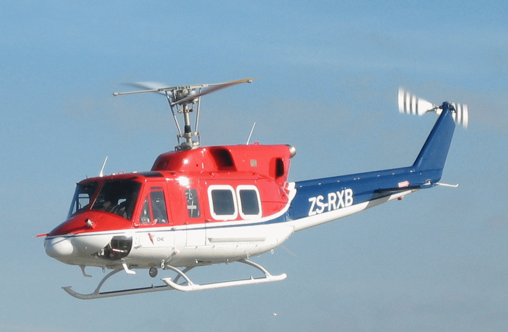
Combining the field teams mobile response - for example on foot, in vehicles or in helicopters, with their ability to GPS geo-reference confusing road junctions, creek-beds, bluffs etc, permits the command team to rapidly identify these local features and ensure that the correct regions are covered - even if these features are not specifically identified or named on any available maps. This ability to accurately respond within a myriad of unlabelled roads, creeks and bluffs has proven to be a key feature of an accurate and focused mission, while also minimizing gaps in coverage and uncertain assignment information.
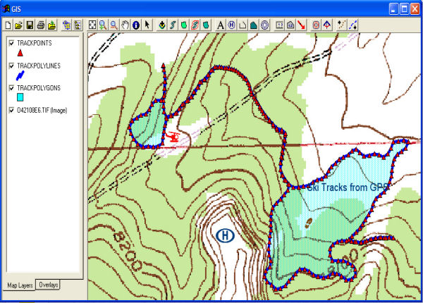
![]() Debrief Tracking
Debrief Tracking
![]() For response teams equipped with GPS tracking devices, such as
For response teams equipped with GPS tracking devices, such as ![]() 'Track
Commander' their track-files can be plotted on the mission map, creating a 'breadcrumb' track of their recorded locations.
For returning field teams with handheld GPS units their track-files can be displayed as identified, time-stamped map layers, providing
very accurate information on their actual travel route, as well as any recorded gaps in coverage.
'Track
Commander' their track-files can be plotted on the mission map, creating a 'breadcrumb' track of their recorded locations.
For returning field teams with handheld GPS units their track-files can be displayed as identified, time-stamped map layers, providing
very accurate information on their actual travel route, as well as any recorded gaps in coverage.
![]() The combination of customized mission maps, GPS route files, 'Beacon
Tracking' monitoring, geo-referencing and debrief tracking, permit comprehensive
mission management in remote and featureless locations. 'Incident Commander
Pro's unique integration of powerful location-based technologies helps ensure that the mission and field teams
stay 'on track' - even in the most challenging terrain or adverse weather conditions.
The combination of customized mission maps, GPS route files, 'Beacon
Tracking' monitoring, geo-referencing and debrief tracking, permit comprehensive
mission management in remote and featureless locations. 'Incident Commander
Pro's unique integration of powerful location-based technologies helps ensure that the mission and field teams
stay 'on track' - even in the most challenging terrain or adverse weather conditions.
For more information
please contact:
![]() SAR
Technology Inc.
SAR
Technology Inc.
 Phone:
(604) 921-2488
Phone:
(604) 921-2488  Fax
(604) 921-2484
Fax
(604) 921-2484 ![]() sartechnology@telus.net
sartechnology@telus.net