. . ![]()
 Quickly find POI’s within a Defined Geographic Region or Distance
.
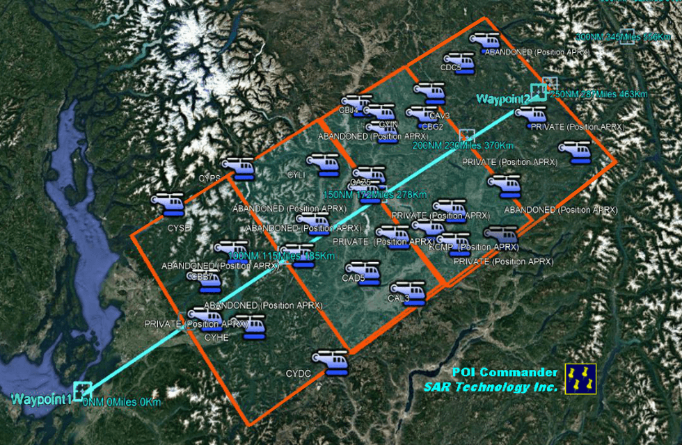
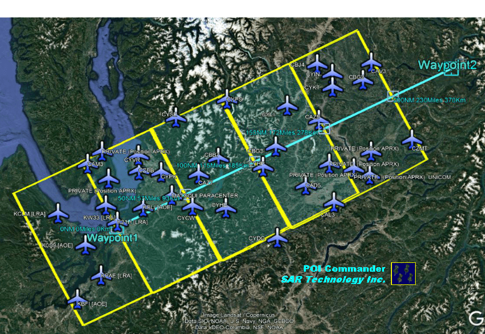
 Find POI’s along a Track-Line
.
– Display Track-Line Information.
– Display Track-Line, Length, Heading and Coordinates.
– Locate Airfields along a Flight-Path Track-Line.
– Quickly locate all the airfields along a Flight-Path.
– Perform a Missing Aircraft Communications Search.
– Contact all located airfields from their POI information.
– Create Destination-Overshoot Regions.
– Add Overshoot Regions beyond the end of the Flight-Path.
.
.
.
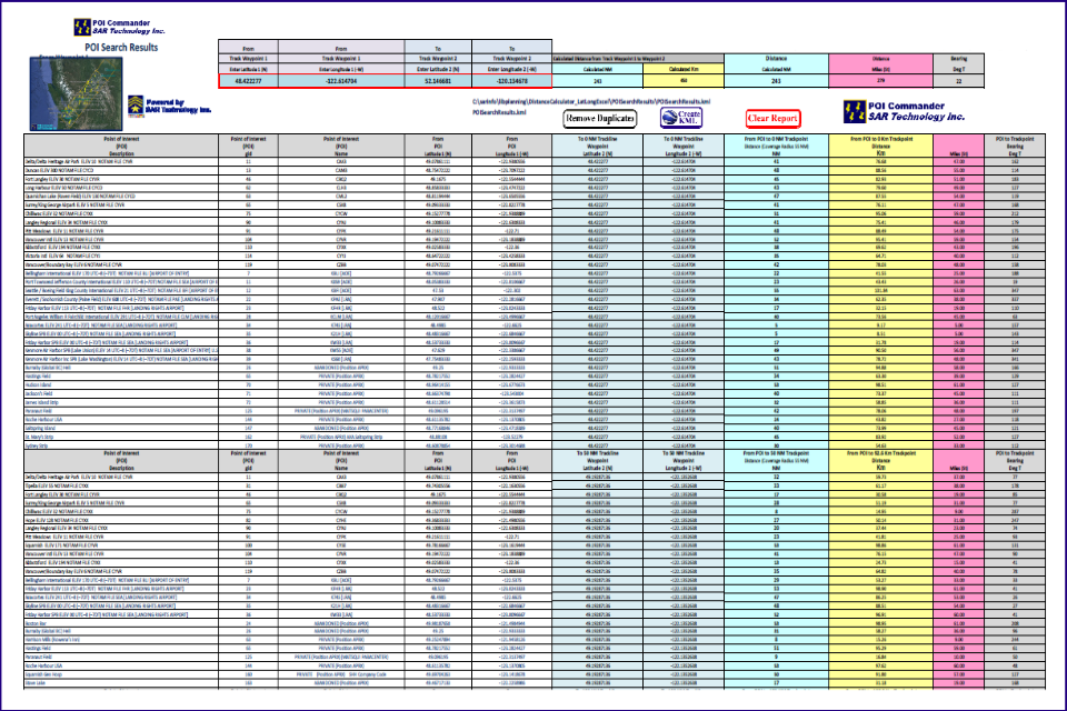
 Detailed POI Search Report
.
– Displays all the POI’s found within each Search Region.
– Group Search Results by Consecutive Regions.
– Displays POI’s Name, Detailed Description and Coordinates.
– Displays POI’s Distance and Heading to the nearest Track-Point.
– Displays Distances in Statute Miles, Nautical Miles and Kilometers.
– Print Reports to Hard-Copy, PDF Files or Excel Export.
.
.
.
.
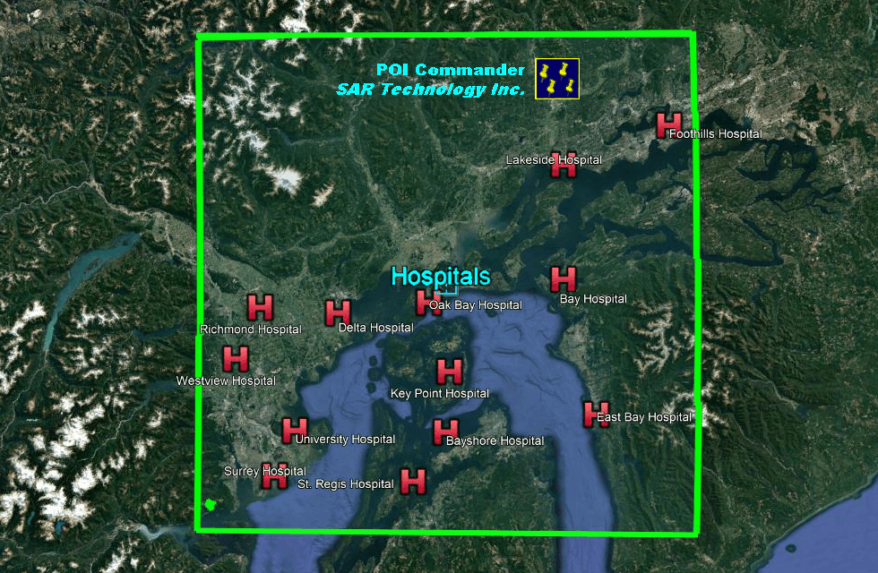
 Single-Region POI Search.
.
– Search for POI’s within a single Defined Region.
– Create Search Reports with detailed POI information.
– Generate Customized KML files for Google Earth.
– Useful for locating Cell-Towers, Repeaters, Airfields, Heli-Spots, Hospitals, Fire-Halls, Police Stations, Shelters, Response Teams, Equipment Caches, Fuel Supplies, Towns, Villages or any other user-entered information.
.
.
.
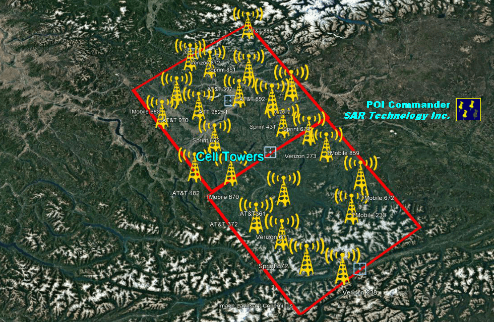
 Multiple-Region POI Search
.
– Search for POI’s within Multiple Defined Regions.
– Search Regions may be Connected or Separated.
– Create Search Reports with Regional or Distance-Based POI’s.
– Generate Customized KML files for Google Earth.
.
.
.
.
.
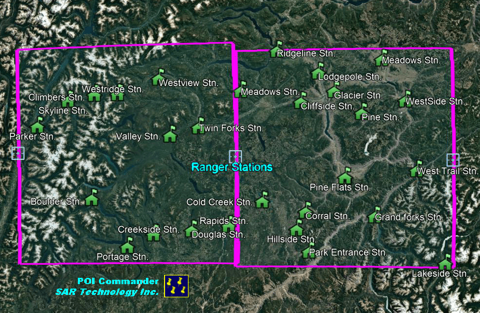
 Program Features
– Enter POI user data into standard Excel tables.
– Import POI data from external sources.
– Supports POI Name, Description and Coordinates.
– Exports POI KML files for Google Earth.
– Change the Appearance of the POI KML File.
– Select the POI Symbol and Size.
– Select the POI Label Size.
– Select the POI Line Color and Width.
– Show or Hide Symbols and Labels.
.
.

