
- Downloads -
![]()
![]()
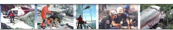
![]() SAR
Technology: 'Incident Commander Pro' Software
SAR
Technology: 'Incident Commander Pro' Software
-
Downloads -
 Download
the new 'Incident Commander Pro' Version 8 software!
Download
the new 'Incident Commander Pro' Version 8 software!
| Step 1: Download 'Incident Commander Pro' zipfile (above). |
| Step 2: Unzip (extract) into a temporary directory. |
| Step 3: After unzipping run setup.exe to install 'Incident Commander Pro' V7/8 licensed product |
| Step 4: After installation has completed install the GIS Module Latest Update to upgrade to Version 8 |
|
(For servers and early versions of Windows see System Requirements) |
![]() Installation
and
Operations Instructions: Right-Click
Properties:
Install and Run As.. Administrator, Full
Control
Installation
and
Operations Instructions: Right-Click
Properties:
Install and Run As.. Administrator, Full
Control
(Enterprise computers may
need additional permissions to be set by IT)
After evaluation please complete Incident Commander Pro's
Registration form to fully activate the software
Purchase
Incident
Commander
Pro V5 V6 and System Files
![]() Download
'Incident
Commander Pro V7' Windows XP
Download
'Incident
Commander Pro V7' Windows XP
![]()
|
|
|
|
|
Purchase |
| |
|
|
|
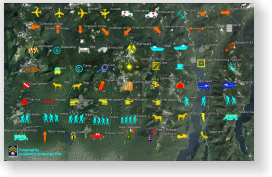
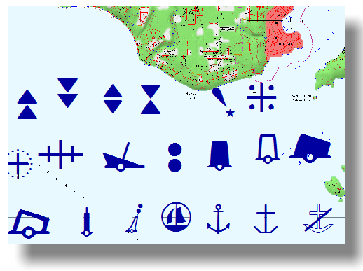
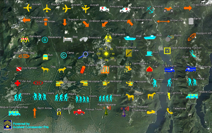
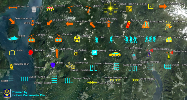
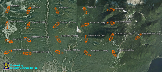
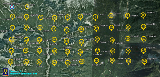
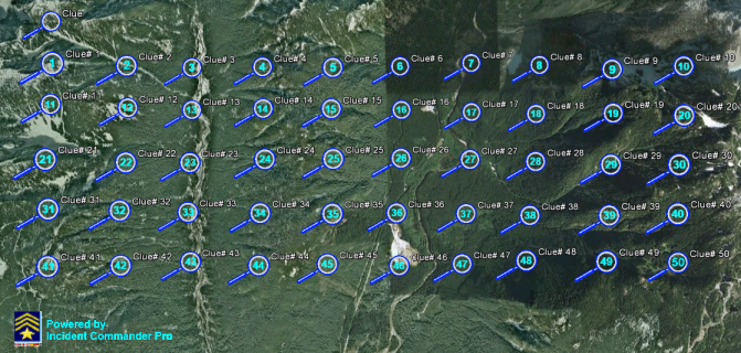
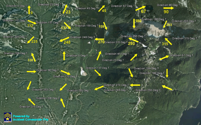
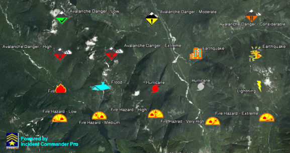
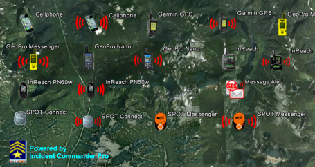
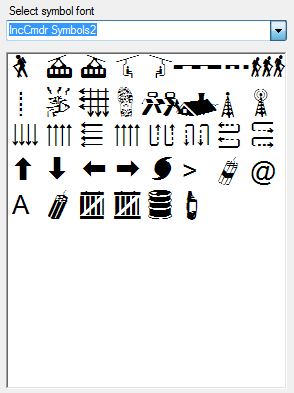
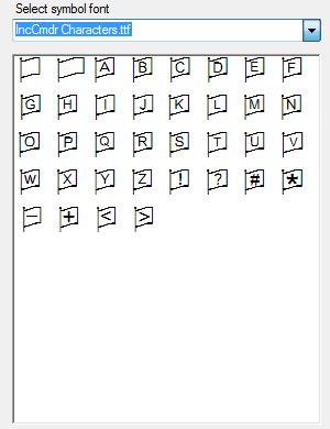
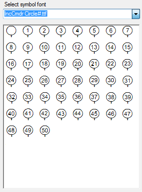
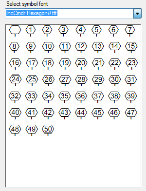
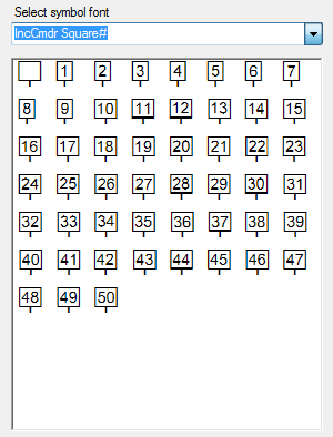
Tactical Map Symbols
Purchase
|
|
|
- Integrated - |
|
|
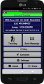
Use an Android or Apple phone as a convenient barcode scanner for 'Incident Commander Pro' on the Windows computer. |
| Use an Android phone as a barcode scanner for 'Incident Commander Pro' on the Windows computer. | |
| Downloads | ||
| 'Incident Commander Pro' - Software Overview | Overview of 'Incident Commander Pro' V8 software. | |
| 'Incident
Commander Pro' - Overview - PowerPoint Presentation |
PowerPoint presentation of the main new features of 'Incident Commander Pro' V8 software. | |
 |
What's New in 'Incident Commander Pro' | Details the main New Features in 'Incident Commander Pro' V8. |
| 'Incident Commander Pro' - Tracking Devices Overview | Describes the features, benefits and limitations of the various types of tracking devices that may be used with 'Incident Commander Pro' V8. | |
| |
'Incident Commander Pro' - for Air-Search Missions | Overview of the professional features of 'Incident Commander Pro' V8 for managing Air-Search missions. |
| |
Cloud Computing with 'Incident Commander Pro' |
‘Incident Commander Pro’ can now be run from virtually any internet location - at work, home, the command post or on the road. |
| Downloads | ||
| 'Incident
Commander Pro' - Tracking Devices Overview |
Describes the features, benefits and limitations of the various types of tracking devices that may be used with 'Incident Commander Pro' V8. | |
| 'Incident
Commander Pro' - GPS Satellite Tracking Devices |
A table detailing the specifications of the GPS-Satellite tracking devices that may be used with 'Incident Commander Pro' V8. | |
|
'Track
Commander' Smartphone Tracking: - 'Track Commander' Android Instructions - 'Here-I-Am' iPhone Instructions (for iphones) |
 Configuration
instructions for tracking smartphones Configuration
instructions for tracking smartphonesusing SAR Technology's 'Track Commander' Android app with 'Incident Commander Pro' V8. |
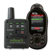 |
'Incident
Commander Pro' Tracking: DeLorme-inReach Beacon Configuration |
Configuration Instructions for Tracking DeLorme inReach with 'Incident Commander Pro' V8. |
|
|
'Incident
Commander Pro' Tracking: SPOT Gen3 / Messenger - Beacon Configuration |
Configuration Instructions for Tracking SPOT Gen3 / Messenger with 'Incident Commander Pro' V8. |
| |
'Incident
Commander Pro' Tracking: GPS-Radio Configuration Make
In Use COM Ports available for GPS-Radio Tracking |
Configuration Instructions for Tracking GPS-Radios with 'Incident Commander Pro' V8. |
|
|
'Incident
Commander Pro' Tracking: - Beacon Email Setup - Delorme-inReach/SE GeoPro-Nano GeoPro-Messenger Account and Beacon Email Setup (Word) (PDF) |
Setup
Instructions for emailing beacon locations and Alert Messages
(including SOS/Help) to 'Incident Commander Pro' V8. Applies to DeLorme-inReachSE, DeLorme-inReach, DelLorme-inReach/PN-60w, GeoPro-Nano, GeoPro-Messenger SPOT Gen3, SPOT-Messenger and SPOT-Connect SAR Technology is an authorized distributor for DeLorme-InReach, GeoPro-Nano and GeoPro-Messenger. InReachGeoPro25_250_1000_US_SubscriptionPlans InReachGeoPro25_250_1000_CAN_SubscriptionPlans |
| 'Incident
Commander Pro' Tracking: SPOT Connect - Beacon Setup |
Setup Instructions for Configuring SPOT Connect to send it's Locations and Custom| Messages to 'Incident Commander Pro' V8. | |
| |
Link to
advanced ICPro8 Tracking features for SPOT Gen3, SPOT Messenger, SPOT Connect and iPhones. |
|
 |
'Incident
Commander Pro' Tracking: 'GPSGate' Driver Installation Instructions |
Instructions for streaming Garmin GPS data directly into 'Incident Commander Pro' V8. |
| Downloads |
|
|
 |
'Incident
Commander Pro' Videos - Overview - Mapping - Tracking |
Online
Videos: -Overview -Map Creation -Beacon-Tracking -GPS-Radio Tracking -GPS-Connected Tracking |
|
|
Overview Video: 'Incident Commander Pro' - Overview' |
Overview of 'Incident Commander Pro' V8. |
|
|
Overview Video: 'Incident Commander Pro' - Mapping Module |
Overview of 'Incident Commander Pro' V8 Mapping Module. |
|
 Global Earth Tools - 'Live-Trak' for Google Earth |
Overview of
'Incident Commander Pro' V8 Global Earth Tools: 'Live-Track' - for Google Earth |
|
|
How-To Video: Create a Map in 'Incident Commander Pro' |
Video shows how to create a map and add map layers in 'Incident Commander Pro' V8 |
| How-To
Video: Track Beacons in 'Incident Commander Pro' |
Video shows how to track Beacons in 'Incident Commander Pro' V8 | |
| How-To Video: Track GPS-Radios in 'Incident Commander Pro' |
Video shows how to track GPS-Radios in 'Incident Commander Pro' V8 | |
| How-To
Video: Track GPS-Connected to 'Incident Commander Pro' |
Video shows how to track a GPS directly connected to a computer running 'Incident Commander Pro' V8 |
| Downloads | ||
 |
'Incident Commander Pro' V7/8 - Client Setup | Run Client Setup to install the 'Incident Commander Pro' V7/8 system files on each Client computer to be networked. |
| 'Incident
Commander Pro'- Help File Detailed Help for 'Incident Commander Pro' V7/8. |
Download
file then unzip contents into: C:\Program Files (x86)\SAR Technology\ICv7\Help (replacing the original file) Security Tip: If Help displays 'Navigation to the webpage was cancelled' choose file Properties... Security... Unblock |
|
| |
'Incident Commander Pro' GIS-Module - Updates from
V7 to V8: |
Download
files then unzip contents into C:\Program Files (x86)\SAR Technology\ICv7 (replacing the original files) |
| |
'Incident Commander Pro' Beacon/SmartphoneTracking
- |
Download
file then unzip contents into C:\Program Files (x86)\SAR Technology\ICv7\Gis\Parsing (replacing the original file) |
|
|
'Incident
Commander Pro' Planning
Data -Updates from V7 to V8 Download Includes: 117 Terrain Images, 103 Subject Behaviour Profiles, 103 Travel Speeds, 69 Optimized POD, 15 Unoptimized POD, 16 Mission Plans. Download Displays Subject Behaviour Profiles on the GIS Module |
Download
files then unzip contents into C:\Program Files (x86)\SAR Technology\ICv7\Data (replacing the original files) |
|
|
ICS205 Mission Communications Plan - Print Report Form Download |
Download
report file then unzip contents into C:\Program Files (x86)\SAR Technology\ICv7\Reports (replacing the original file) |
 |
Windows
Wingdings3 font file Required Windows font for displaying map symbols. |
Download then unzip Wingdings3 font-file onto the local computer. Then drag or pasteWingdings3.ttf into the... Control Panel... Fonts folder to install. |
|
|
Windows
WindowsFonts font files Popular Windows fonts used for displaying map symbols. |
Download then unzip WindowFonts onto the local computer. Then drag or paste all the fonts into the... Control Panel... Fonts folder to install. |
 |
   North Arrows
 |
Sample North Arrows for use with the GIS Module Print Setup. |
 |
Multi-Platform
Remote Connectivity - 'Incident Commander Pro' Setup Chrome Remote Desktop to remotely run 'Incident Commander Pro' from a computer, tablet or smart-phone |
Setup Instructions for Chrome Remote Desktop to remotely run 'Incident Commander Pro' from a computer, tablet or smart-phone. |
| |
for Windows7 Network Use |
Detailed procedure for configuring 'Incident Commander Pro7' for running over a Windows network. |
| |
Import
Excel Personnel File - Import Excel personnel files into 'Incident Commander Pro' |
Sample
Excel Personnel files for importing personnel into 'Incident
Commander Pro' V7/8. Place files in ICv7\My_Reports folder. |
| |
- Excel table for multiple drift/travel entries into the Drift/Travel Plotter |
Excel table creates a list of multiple drift/travel entries ready for entering into the GIS module's Drift/Travel Plotter. |
| |
- Excel spreadsheet calculates a search aircraft's Probability of Detection |
Excel spreadsheet calculates the Probability of Detection of aircraft searching for targets over different types of terrain. |
 |
- for display in 'Incident Commander Pro' |
Sample list
of Web Map Services (online map websites) that may be
displayed in 'Incident Commander Pro' V8. Includes maps, weather, wildfires, hurricane paths etc. |
|
|
Microsoft
VFP ODBC driver |
The Microsoft
VFP ODBC driver (vfpodbc.dll) must be
present and registered in the C:\windows\system32
directory. |
|
Downloads |
|
|
| 'Incident Commander Pro' - for Emergency Response | General PowerPoint presentation | |
| 'Incident Commander Pro' - for Flooded Highway Response | General PowerPoint presentation | |
| 'Incident Commander Pro' - for Marine SAR Incidents | General PowerPoint presentation | |
| 'Incident
Commander Pro' - Training_(ppt) Detailed &
Indexed 'Incident Commander Pro' - Training_(pptx) |
A detailed PowerPoint (ppt and pptx) presentation on how to use 'Incident Commander Pro V7/8'. Includes a convenient hyperlinked Indexed Table of Contents. |
| Map Files | |
 Unzip the high-resolution Natural Earth map-files into folders. 1. 3. |
NaturalEarth.zip (361.5MB '.png' image map-file) NaturalEarth_vector.zip (272.3MB 'shape' .shp map-files) Add both to a WGS 84/LatLong Map. Displays world-wide LatLong & UTM values |
 Unzip the WSI_Earth map-files into a folder, then add |
WSI_Earth.zip (22MB '.png' image map-file) Add to a WGS 84/LatLong Map |
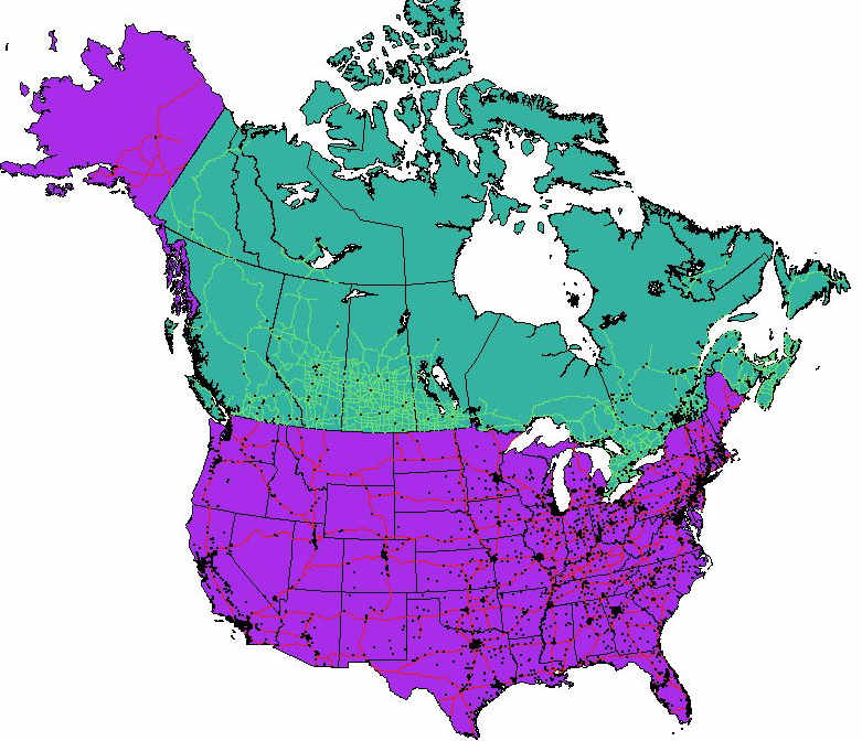 - States, Cities, Roads & Rivers etc. Unzip the '.shp' map-files into a folder, then add |
USA_ShapeFileMaps 43MB Canada_ShapeFileMaps 28MB ('shape' .shp map-files) Add to a North America map |
 Unzip the San Mateo map-files into a folder, then add to a UTM Zone 10N NAD83 California GIS map. |
San
Mateo_UTM10_Maps.zip (7MB '.png' image map-files) Add to a California UTM Zone 10N NAD83 Map |
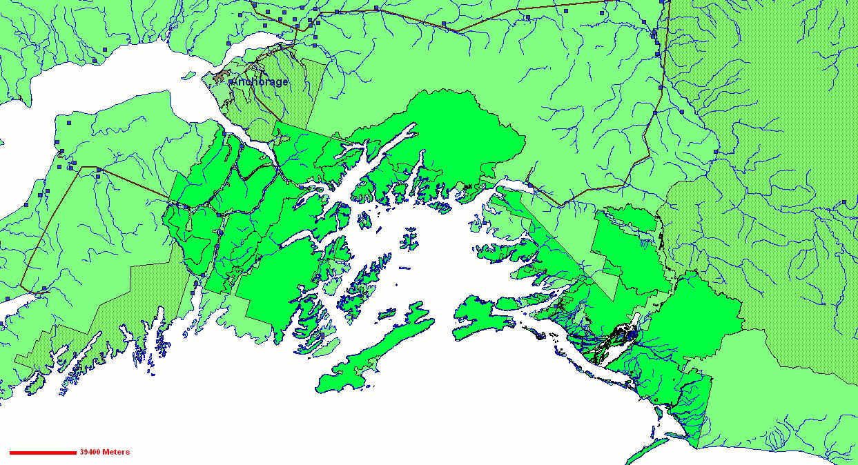 Unzip the Alaska map-files into the \forest and \info folders, then add |
Alasksa_CoverageMap.zip (7MB 'coverage' map-files) |
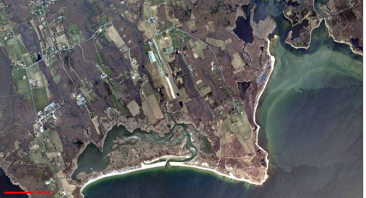 Unzip the Massachusetts map-files into a folder, then add to a UTM Zone 19N NAD83 Massachusetts GIS map. |
MassachusettsUTM19 MrSIDImageMaps.zip (30MB.'MrSID' Three .sid image map-files) Add to a Massachusetts UTM Zone 19N NAD83 Map |
 Unzip the Wyoming map-file into a folder, then add |
WyomingUTM12_GeotiffImageMap.zip (3MB 'geotiff' .tif image map-file) Add to a Wyoming UTM Zone 12N NAD83 Map |
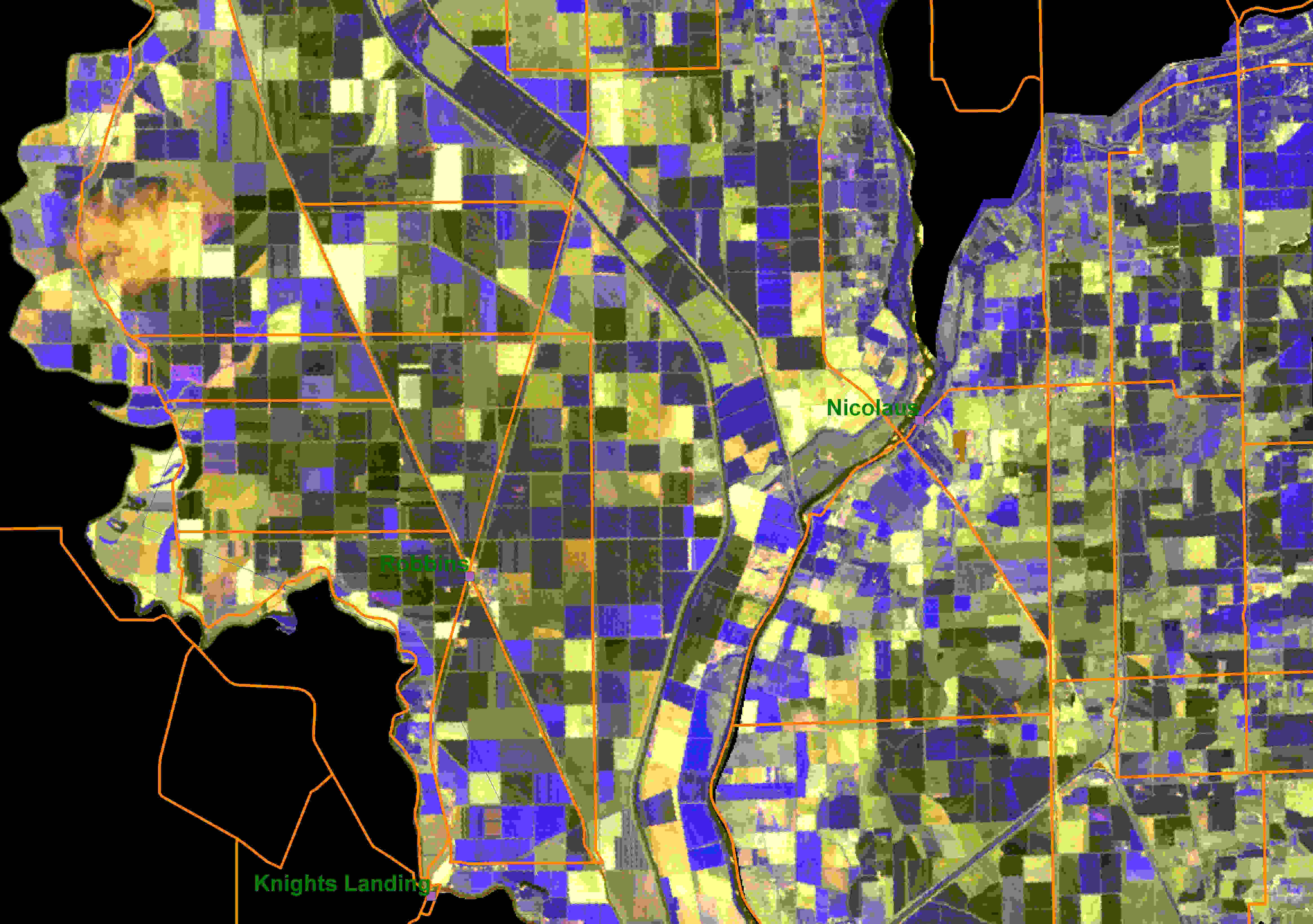
 Unzip the Lake Mead map and trail files into a folder, then add into a UTM Zone 11 NAD83 Nevada GIS map. |
NevadaUTM11_ImageMaps_Trails.zip (17MB '.png' image map-files and GPX trail files) Add to a Nevada UTM Zone 11N NAD83 Map |
|
|
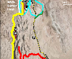
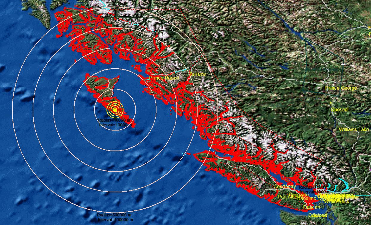
AircraftStatisticalTracklineSearchPattern _UTM10_transparent (Transparent Aircraft Trackline Search Pattern .gif image map-file) Add to a Coquihalla, BC UTM Zone 10N NAD83 Map |
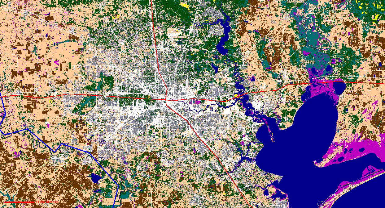
 Unzip the Texas map-files into the \hgaclc_u15 and \info folders, then add |
TexasUTM15_GridImageMap.zip (7MB 'grid' image map-file) Add to a Texas UTM Zone 15N NAD83 Map |
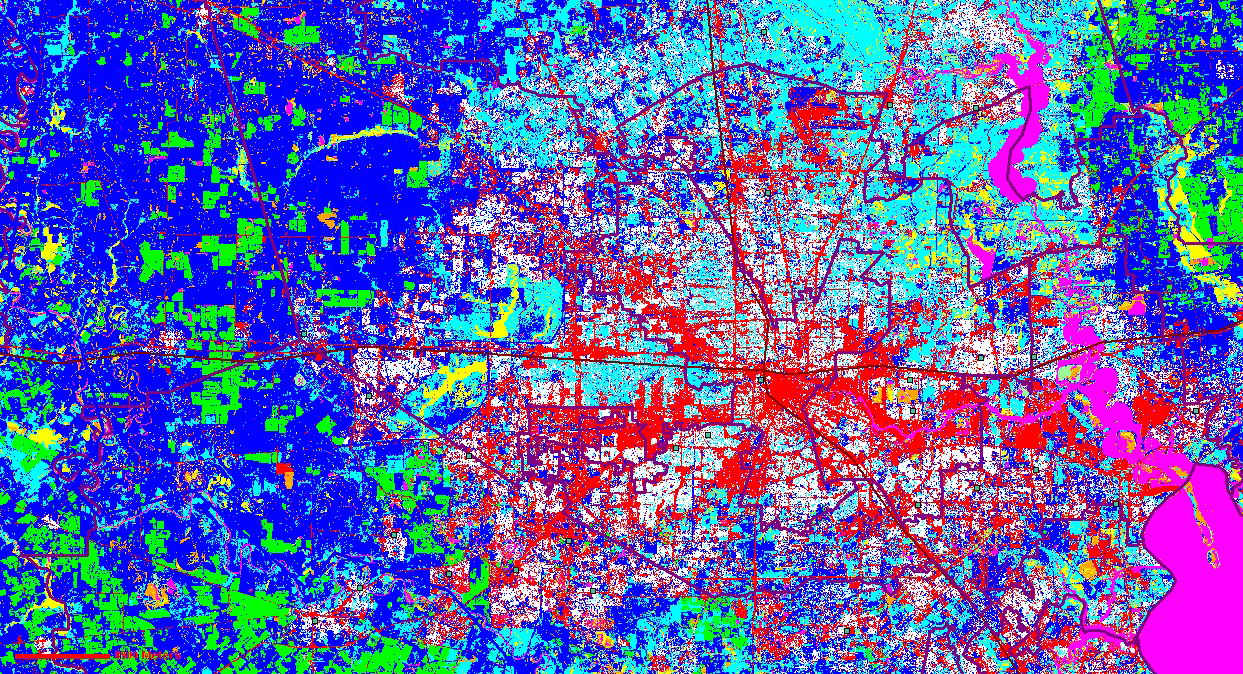
 Unzip the Texas map-files into the \HoustonGalverstonLandCover folder, then add |
TexasUTM15_BILImageMap.zip (7MB '.bil' image map-file) Add to a Texas UTM Zone 15N NAD83 Map |
 Unzip the California map-files into a folder, then add |
CaliforniaUTM10_IMG_LAN.zip (3MB ERDAS Imagine '.img' & '.lan' image map-files) Add to a California UTM Zone 10N NAD83 Map |
 Unzip the Minnesota map-files into a folder, then add |
MinnesotaUTM15_GISImageMap.zip (1.4MB ERDAS '.gis' image map-file) Add to a Minnesota UTM Zone 15N NAD83 Map |
 Unzip the example CAD files into a folder, then add |
ExampleCADFiles.zip (.dwg & .dxf files) |
 FAA VFR UTM Zone 10N Seattle-Tacoma Unzip the Seattle-Tacoma map-files into a folder, then add to a UTM Zone 10N NAD83 Washington State GIS map. |
Seattle_Aviation_UTM10.zip (217MB 'jpg' image map-files) Add to a Washington State UTM Zone 10N NAD83 Map |
 NOAA UTM Zone 10N Washington State Unzip the Washington State map-files into a folder, then add to a UTM Zone 10N NAD83 Washington State GIS map. |
EverettWA_UTM10.zip PugetSoundWA_UTM10.zip (1.9MB 'geotiff' .tif image map-files) Add to a Washington State UTM Zone 10N NAD83 Map |
 (Eco-regions are often associated with terrain sweep-width values) Unzip the '.shp' map-files into a folder, then add |
NA_EcoRegions.zip (0.9MB 'shape' .shp map-files) Add to a North America map |
 - UTM Zone 10N Washington State Unzip the map-files into a folder, then add |
WashingtonState_UTM10N.zip (8.7MB 'shape' .shp map-file) US National Grid State Maps |
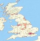  Great Britain Map-Files Unzip the Great Britain map-files folder then add |
GreatBritain.zip (136MB 'shape' .shp map-files) Add to a WGS 84/LatLong Map |
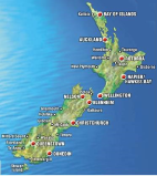 
New Zealand Image Map-Files Unzip the New Zealand map-files into a folder then add into a NZGD2000 Transverse Mercator UTM (multi-zone) GIS map. |
NewZealand250KTopo.zip (386MB 'jpg2000' map-files) Add to a New Zealand NZGD2000 Transverse Mercator UTM (multi-zone) Map |
New Zealand - Northlands Coast Image Map-Files Unzip the New Zealand Northlands map-files into a folder then add into a WGS84/UTM Zone 59South GIS map. |
NewZealandNorthlands _WGS84_UTM59South.zip (138MB 'jpg' map-files) Add to a New Zealand Northlands WGS84/ UTM Zone 59-South Map |
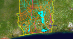 
Africa Map-Files - Benin, West Africa Unzip the Benin map-file folders then add to a UTM Zone 31N Benin GIS map. |
Benin_WestAfricaUTM31.zip (9.0 MB '.tif'' & '.shp' map-files) Add to a Benin UTM Zone 31N Map |
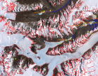  Antarctica Map-Files
- McMurdo Base region, Antarctica Unzip the McMurdo map-file folders then add UTM Zone 58-South/NAD83 GIS map. |
McMurdoAntarctica_UTM58South.zip (29.5 MB '.tif'' & '.shp' map-files) Add to a McMurdo UTM Zone 58-South Map |
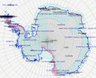 Antarctica Continent Map-Files Unzip the Antarctica map-file folders then add WGS84/UPS-South GIS map. |
Antarctica_WGS84_UPSSouth.zip (15.9 MB 'shape' .shp map-files) Add to an Antarctica WGS84/UPS-South Map |
| - for display in 'Incident Commander Pro' |
Sample
list of Web Map Services (online map websites) that may be
displayed in 'Incident Commander Pro' V8. Includes maps, weather, wildfires, hurricane paths etc. |
|
Downloads
|
File / WebLink |
 Example
US GPX Hiking Trail files that can be imported
into 'Incident Commander Pro' . Example
US GPX Hiking Trail files that can be imported
into 'Incident Commander Pro' .Un using the (Includes 11 GPX hiking trail files) |
ValleyOfFire_Nevada_HikingTrails GPX.zip (GPX track files) Valley of Fire, Nevada. UTM Zone 11N NAD83 |
| Example
Canadian GPX Hiking Trail files that can be
imported into 'Incident Commander Pro' . Un using the (includes 68 GPX hiking trail files) |
SWBritishColumbia_HikingTrails GPX_KML.zip (GPX and KML track files) Southwest British Columbia. UTM Zone 10N NAD83 |
 Garmin
BaseCamp: Garmin
BaseCamp:Downloads GPX files from a Garmin GPS for import into 'Incident Commander Pro'. Imports KML custom map files exported from 'Incident Commander Pro' and uploads them into a Garmin GPS. |
Garmin
BaseCamp |
Downloads GPX files from many GPS's for import into 'Incident Commander Pro'. Imports GPX files for editing and uploading into many types of GPS devices. |
|
'Incident Commander Pro'. Retains the color and appearance of the original KMZ file. Upload a KMZ file and then save to an SHP Shape-File. Bulk-add (Keep the original map projection of the displayed GIS map when prompted). |
|
Open a KML/KMZ file, drag the files to be converted to Tracks, then click Save GPX file |
to GPX Converter |
Import a KML/KMZ file, select the files to be converted, then click Export GPX |
|
Import a KML/KMZ or PLT file to be converted, then click Export GPX |
|
Input a PDF map-file, select the output image format (e.g. PNG) , then click Convert |
|
| - for use with 'Incident Commander Pro' GIS Drift Plotting Routine Calculates the aircraft/ship Lat-Long Drifted Location on entering the Original Location, Drift Direction & Drift Ground Speed |
|
|
|
Scalebars_Grids.zip Templates as ( .dxf CAD-files) |
| SimplifiedNMEA183TrackFile.csv DetailedMEA183TrackFile.csv Surrey/Vancouver, BC. UTM Zone 10 |
|
Un (Select the Map Layers legend, STD Labels... TIME field to display the track's UTC date/time-stamps on the map) |
Upper_LevelsPoint.zip (GPS track saved as 'shape' map-file) West Vancouver, BC. UTM Zone 10 |
| To
correctly project a 'shape' file onto the GIS module's NAD83 map
display a companion .prj projection file may be needed. eg for MyTrackLine.shp: Copy NAD83MapProjectionFile.prj to MyTrackLine.prj ( in the same directory as your .shp file). |
NAD83
Map Projection File for displaying 'shape' map files NAD83MapProjectionFile.prj (text file, opens with Notepad) |
| To
correctly display geo-referenced 'Incident Commander Pro'
shapefile maps of eg for Save Target As... |
'Incident
Commander Pro' Map Projection Files for displaying geo-referenced 'shape' file in other GIS applications |
| To
correctly scale/position an image file within the map's UTM
zone a companion UTM 'world-file' is needed for
each image-file. kept in the same directory as its image file: LightHousePark.tif (This example is for a tif image with a 1.6 meter x 1.6 meter pixel size, and a top left corner (in UTM Zone 10 North) 0480162 E, 5465433 N) MyMap.tfw for MyMap.tif MyMap.gfw for MyMap.gif MyMap.jgw for MyMap.jpg MyMap.bpw for MyMap.bmp MyMap.sdw for MyMap.sid MyMap.pgw for MyMap.png MyMap.blw for MyMap.bil MyMap.gsw for MyMap.gis world-files. |
Geo-referencing
UTM 'World' File for image files North of the Equator LightHousePark.tfw for image file: LightHousePark.tif WestVancouver, BC. UTM Zone 10 N |
| To
correctly scale/position an image file within the map's UTM
zone a companion UTM 'world-file' is needed for
each image-file. kept in the same directory as its image file: ProserpineAUS.jpg (Prosperine example is for a jpg image with a 25.0 meter x 25.0 meter pixel size, and a top left corner (in UTM Zone 55 South) 0645512 E, 7758587 N) MyMap.tfw for MyMap.tif MyMap.gfw for MyMap.gif MyMap.jgw for MyMap.jpg MyMap.bpw for MyMap.bmp MyMap.sdw for MyMap.sid MyMap.pgw for MyMap.png MyMap.blw for MyMap.bil MyMap.gsw for MyMap.gis world-files. |
Geo-referencing
UTM 'World' File for image files South of the Equator ProserpineAUS.jgw for image file: ProserpineAUS.jpg Proserpine, Australia UTM Zone55 S HeardIsland.tfw for image file: HeardIsland.tif Heard Island, Australia UTM Zone43 S |
| Image-Map
Location Adjustor and Map Tiler geo-referencing World File's UTM coordinates to correctly display the map location. - Create a tile of same-size UTM map images based on the known UTM location of one map image. |
Image-Map
Location Adjustor & Map Tiler for UTM map image files |
| UTM
Display for Lat-Long Maps To show correct UTM status bar values for displayed Lat-Long maps (If required reload or re-project the Lat-Long map to update the UTM values) |
UTM
Display for Lat-Long Maps UTMStatusDisplayForLatLongMaps.shp for displaying correct UTM values in Lat-Long maps |
| To
correctly scale/position an image file within a Lat-Long
map a companion Lat-Long 'world-file' is needed
for each image-file. kept in the same directory as its image file: BCEarthquake.jpg (This example is for a jpg image with a 0.0128 degree x 0.0128 degree pixel size, and a top left corner at: Latitude: -136.79139 Longitude: 57.4529) MyMap.tfw for MyMap.tif MyMap.gfw for MyMap.gif MyMap.jgw for MyMap.jpg MyMap.bpw for MyMap.bmp MyMap.sdw for MyMap.sid MyMap.pgw for MyMap.png MyMap.blw for MyMap.bil MyMap.gsw for MyMap.gis world-files. |
Geo-referencing Lat-Long 'World' File for image files in Lat-Long maps BCEarthquake.jgw for image file: BCEarthquake.jpg Display map image in a WGS 84 Lat-Long map |
MN DNR-Garmin & GPS Utility text files for uploading into a GPS 1. Paste your Incident Commander Pro Route Waypoint CSV file into the Excel 'ICPro' worksheet, then.. 2. Paste the 'MNDNR-Garmin' worksheet into the MNDR_GarminWaypointTable or paste the 'GPSUtility' worksheet into a GPSU text-file |
ICPro_to_GPSUtility_MNDNRGarmin _Waypoints.xls |
Set MN DNR-Garmin projection to ESRI-format NAD83 and load it's NAD83 Projection file. Downloaded GPS Tracks can then be Saved To 'shape' files (Unprojected) - with automatic projection file creation - and then directly displayed by 'Incident Commander Pro'. |
(ArcGIS 9.x compatible version) |
- Track shape-files will require a companion .prj projection file of the same name. |
|
 GPSBabel: Flexible program for downloading
GPS tracks, waypoints, and routes. Easily converts from one
map-file format to another. GPSBabel: Flexible program for downloading
GPS tracks, waypoints, and routes. Easily converts from one
map-file format to another. |
GPSBabel |
for display in 'Incident Commander Pro' Creates the required data and 'info' directories eg C:\MyMap\rivers and C:\MyMap\info |
|
- for display in 'Incident Commander Pro'. Free version for smaller image files |
Image Compressor |
|
|
CPU & RAM: The 'Incident Commander Pro' software will operate quite well on any computer that runs at 2GHz with 512MB RAM or greater. As the program has many graphic-based features faster speeds and more RAM are always beneficial. |
|
|
Hard Drive: The program requires about 100MB of hard drive space once installed. A similar amount of free space should be left available on the hard drive after installation, for the program to create temporary files while it is operating. |
|
|
Monitors: 'Incident Commander Pro' benefits greatly from the use of a reasonably large display screen - to display as much mission information as possible. A dual monitor system is recommended to display 'Incident Commander Pro' forms on one monitor and the GIS map display on the other monitor. |
|
|
Network Card: If the software is to be run over a local network - strongly recommended for most missions - then the computer will require a network card. |
|
|
Preferred
Operating Systems: Windows 7, 8 & 10. |
 |
.... up to six times faster than USB2 for data transfer. Install Microsoft .NET Version 4.5.1 (for Consumers) & Visual C++ 2008 SP1 (to open the GIS Map... module) if these default Windows programs are not already installed (e.g. for Win XP, 32-bit Windows Server 2008). |
|
|
|
| |
Install Microsoft .NET Framework V3.5 (not a later version) and Microsoft Visual C++ 2008 Redistributable x86 pack (for the GIS module). |
|
|
Computer CPU
& RAM: 2.4GHz dual core processors, fast DDR3
RAM and the dedicated graphics card. Together these deliver
fast loading and refreshing of the processor-intensive digital
mapping module. Ports: The very fast eSATA port is useful for transferring large (multi Gigabyte) map file collections form a portable hard drive into the computer. USB port configuration are recommended to handle barcode scanning and future developments of 'Incident Commander Pro'. Graphics Card: A dedicated graphics card, while not common on laptop computers, provides significantly faster map loading and graphic displays. |
|
|
Printer/Copier/Fax:
Brother
MFC J6710CW .... Prints both 8-1/2" x 11" and 11" x 17" paper (ideal for printing larger color maps) |
|
|
Barcode Scanner:
Metrologic MS5145 Eclipse .... Tested and optimized for 'Incident Commander Pro' - ideal for rapid check-in of personnel, organizations, etc. |
SAR Technology Standard Terms and Conditions for Software and Services
For more information please contact:
![]() SAR
Technology Inc.
SAR
Technology Inc.
Phone:
(604) 921-2488  Fax
(604) 921-2484
Fax
(604) 921-2484 ![]() sartechnology@telus.net
sartechnology@telus.net
 |
SAR Technology Inc. |  |
View /
Save / Share |
 Bootprints
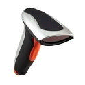 'Incident Commander Pro'
 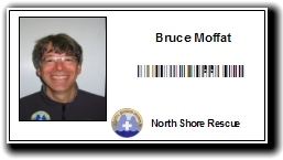 Equipment
Tags
Equipment
Tags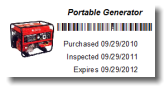


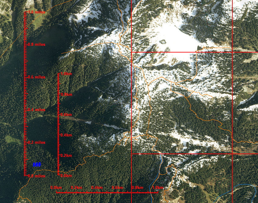 GIS Mapping Tools

