![]()
![]()
![]() SAR Technology: 'Incident Commander
Pro' Software
SAR Technology: 'Incident Commander
Pro' Software
- GIS Features -
|
|
|
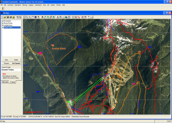
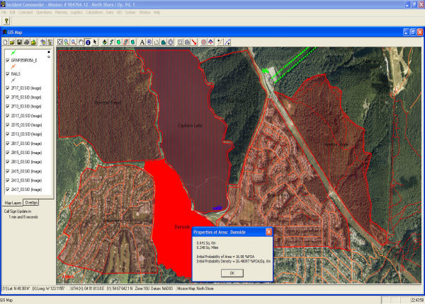
![]() Planning
Maps
Planning
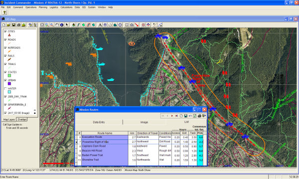
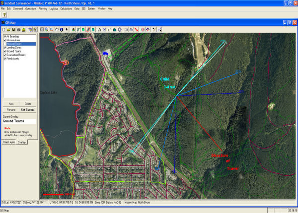
Maps ![]() Mission
Maps
Mission
Maps
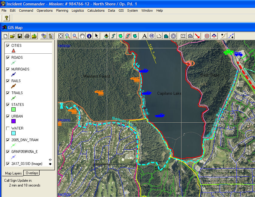
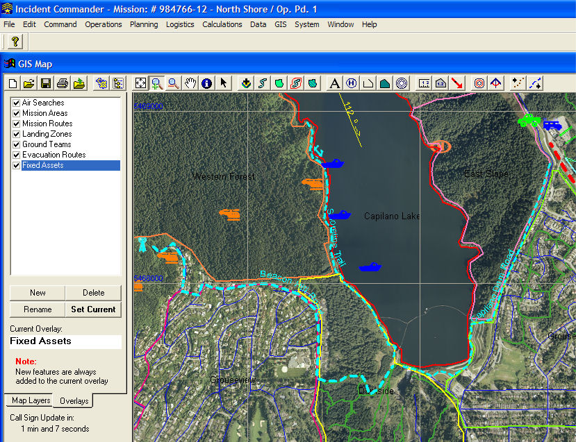
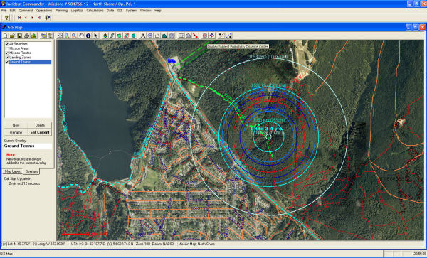
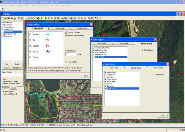
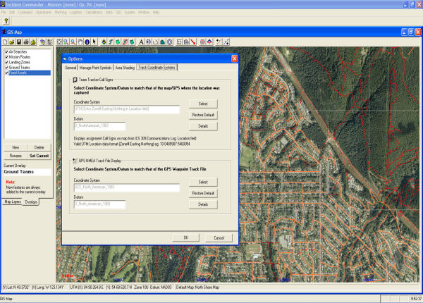
![]() 'Team Tracker'
'Team Tracker'
![]() 'Live'
Status Maps
'Live'
Status Maps
| Planning Maps | Map Overlays | GPS Tracking | Mission Maps |
| Map Annotations | Data Display | Team Tracker | Areas & Routes |
| Program Options | Map Layers | Planning Data | Save, Open, Export & Upload |
|
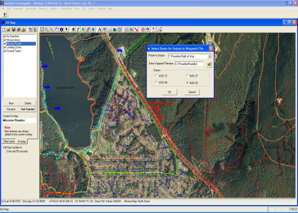
- Create Planning (Default) Maps - Draw Default Routes & Areas - Add Multiple Map Layers - Annotate with Customized Information - Save As a
Mission Map |
|
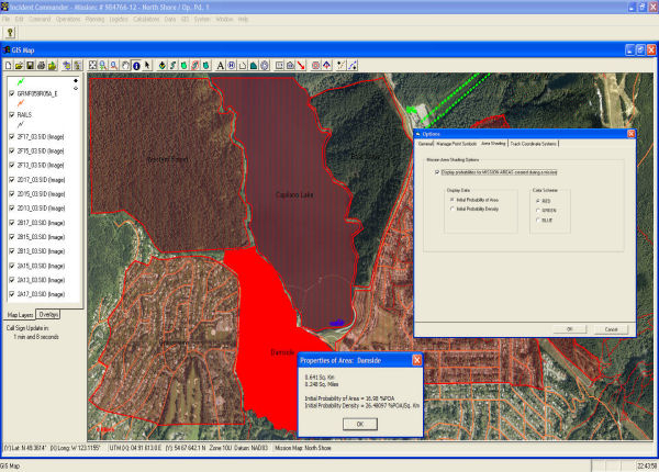
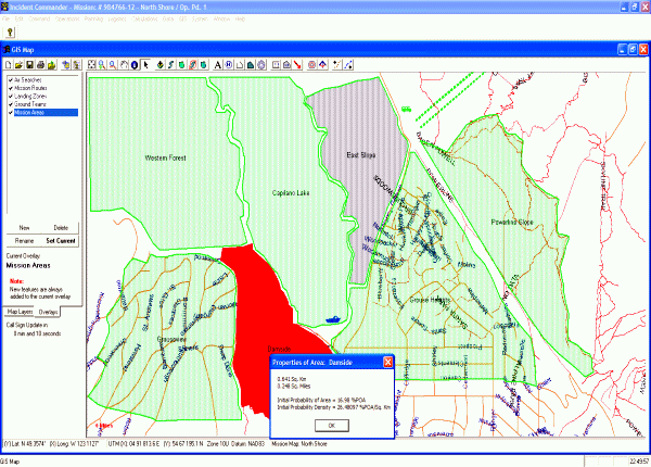
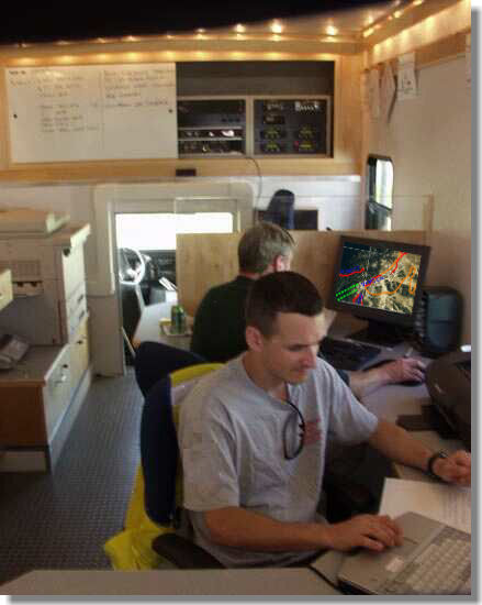
- Display live Mission Status Map
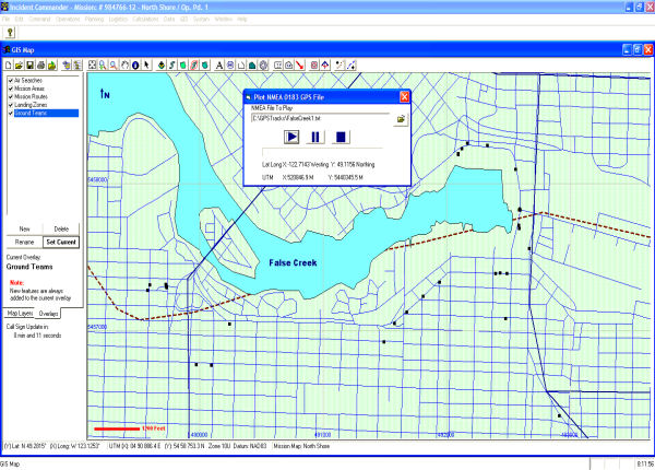
Create Multiple - Draw Mission Routes & Areas - Create Route - Display Mission Area Probability Maps - Plot GPS/NMEA Tracks |
|
- Auto Refresh |
|
|
- Show/hide and re-order background - Customize color, features, shading, labels, lines and displayed data - Display a wide range of map-file formats - Shapefiles, Coverage,
|
|
|
|
|
|
|
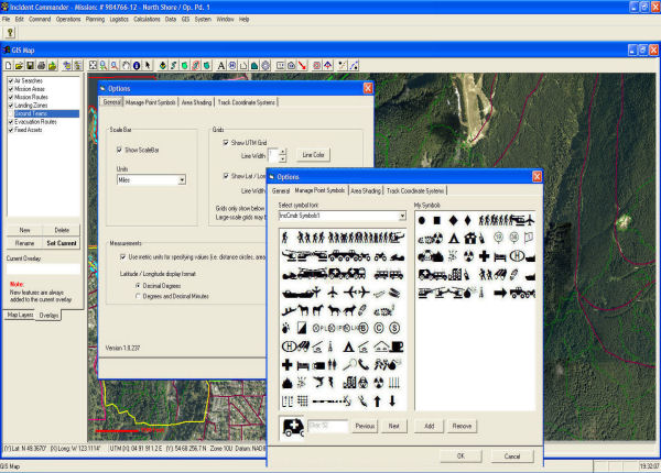
- General -
Scale Units - Lat-Long Grid - Lat-Long Units
- Select 'Incident Commander' Map Symbols - Select installed font symbols |
|
|
|
|
-
Track
|
|
|
|
|
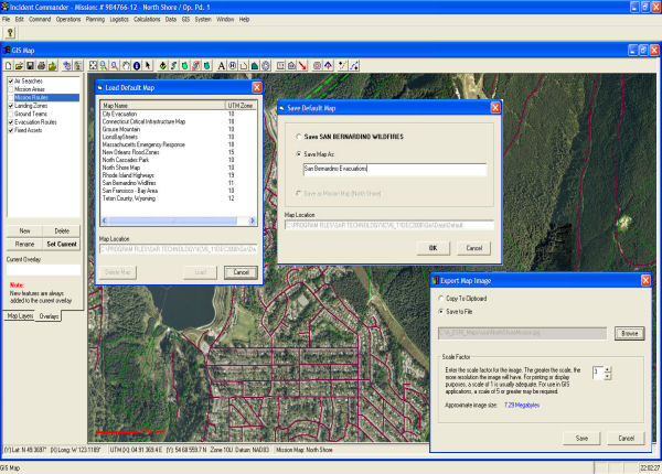
Save
As... Save As... the Mission Map
|
Additional Program Features...
![]() GIS
Mapping Tools - Enhanced Mapping Features.
GIS
Mapping Tools - Enhanced Mapping Features.
![]() Full Context-Sensitive
Help & Quick-Tips Help.
Full Context-Sensitive
Help & Quick-Tips Help.
Note: For the
fastest, most reliable operation the GIS Module is designed to be run from the
host computer only, not over a network
 Phone:
(604) 921-2488
Phone:
(604) 921-2488  Fax
(604) 921-2484
Fax
(604) 921-2484 ![]() sartechnology@telus.net
sartechnology@telus.net
 |
SAR Technology Inc. |  |
View / Save / Share |