![]()
![]()
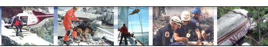
![]() SAR
Technology's: Google Earth Tools
SAR
Technology's: Google Earth Tools ![]()
![]() Live Tactical Displays in Google Earth!
Live Tactical Displays in Google Earth!
|
|
SAR Technology's
Google Earth Tools - Deliver Planning, Tracking, Messaging and Tactical Mission displays in Google Earth. 'Incident Commander Pro's advanced features rapidly generate highly detailed, real-time tactical displays in Google Earth. Combines the powerful
capabilities of 'Incident Commander Pro' with the enhanced visualization
of Google Earth. Powerful and easy to use - SAR
Technology's Google Earth Tools. |
|
|
|
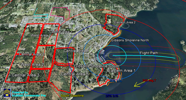
Google Earth Tools: Response Areas and Buffered Routes |
Google Earth Tools: Real-Time Beacon Tracking |
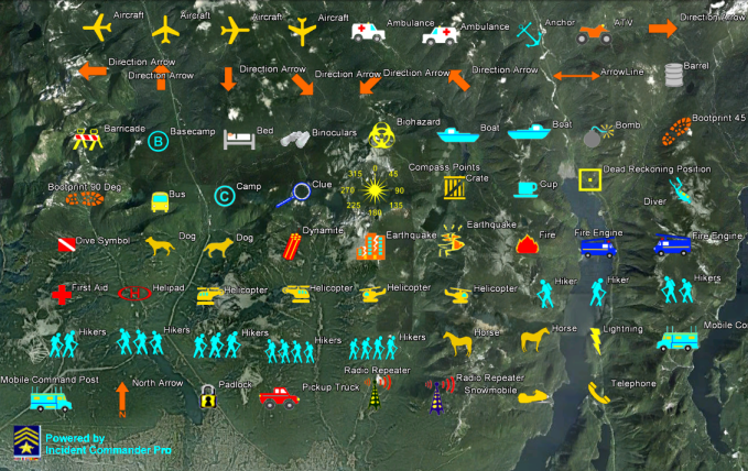
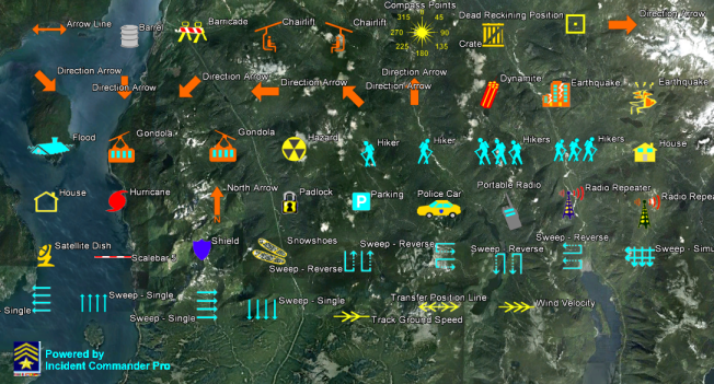
![]() Tactical
Map Symbology - for Google Earth
Tactical
Map Symbology - for Google Earth ![]()
A companion set to 'Incident Commander Pro's Tactical Map Symbols
- Specifically designed for Search, Rescue, Safety, Security and
Emergency-Response.
- SAR Technology's Google Earth Symbols are fully customizable s for size, color and symbol label.
|
General Symbols Set# 1 |
|
 General Symbols Set# 2
|

|
Aeronautical Symbols
|
Beacon
|
|
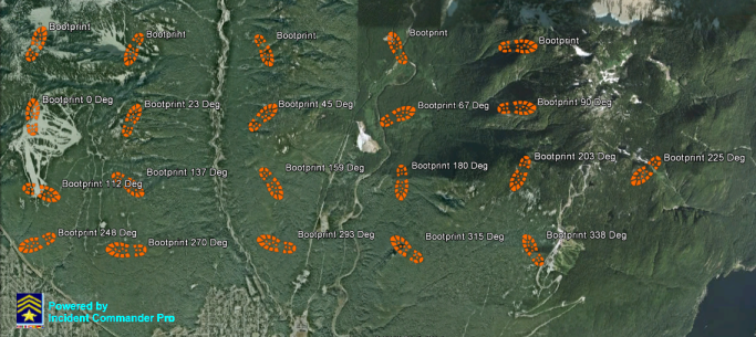 |
Bootprint
|
 |
Bootprints
|
 |
Cellphone
|
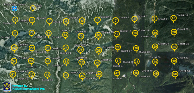 |
Circle
|
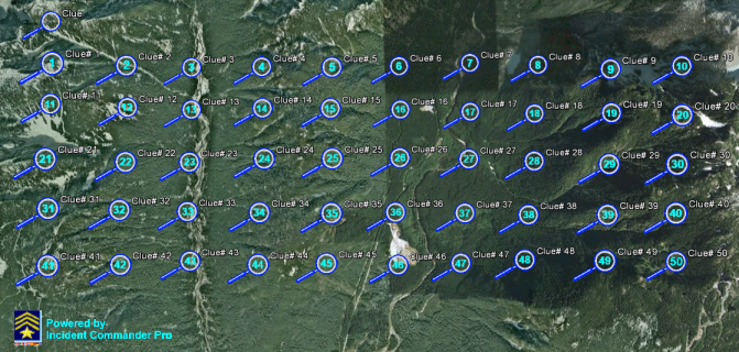 |
Clue
|

|
Communication
|
|
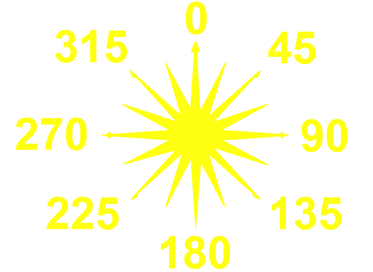
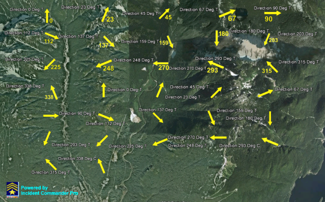
Direction
|

|
Flag
|

|
Marine
|
|
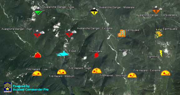
Natural
|

|
Square
|
Tracking
|
|
Transportation
|
|

|
Weather
|

|
Vehicle
|
'Incident Commander Pro' - Program
Features...
![]() GIS
Mapping
GIS
Mapping  Mobile Tracking
Remote
Alerts GPS
Plotting Google Earth
Tools Message
Centre
Mobile Tracking
Remote
Alerts GPS
Plotting Google Earth
Tools Message
Centre
GPS-Radio
Tracking
SPOT
Messenger Tracking SPOT
Connect Tracking Smartphone
Tracking
Connected-GPS
Tracking
![]() Network
Capable
Network
Capable ![]() Skills
Custom
Skills Training
Equipment
Barcodes
External
Programs
Skills
Custom
Skills Training
Equipment
Barcodes
External
Programs
![]() Context-Sensitive
Help
Context-Sensitive
Help ![]() Import/Export
Coverage/POD
Calculator
Expanded
Datasets Enhanced
Reporting
Import/Export
Coverage/POD
Calculator
Expanded
Datasets Enhanced
Reporting
 |
SAR Technology Inc. |  |
View / Save / Share |
 Phone:
(604) 921-2488
Phone:
(604) 921-2488  Fax
(604) 921-2484
Fax
(604) 921-2484 ![]() sartechnology@telus.net
Linked
in
sartechnology@telus.net
Linked
in